We are planning to go on passage soon and the position reporting via VHF (e.g. Marinetraffic, Vesselfinder, etc. based on AIS) will not work anymore. Therefore the following systems have been set-up to track our routing even while out on the ocean…
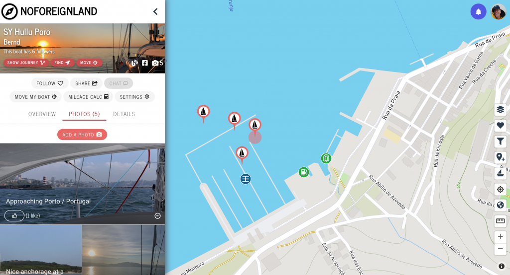
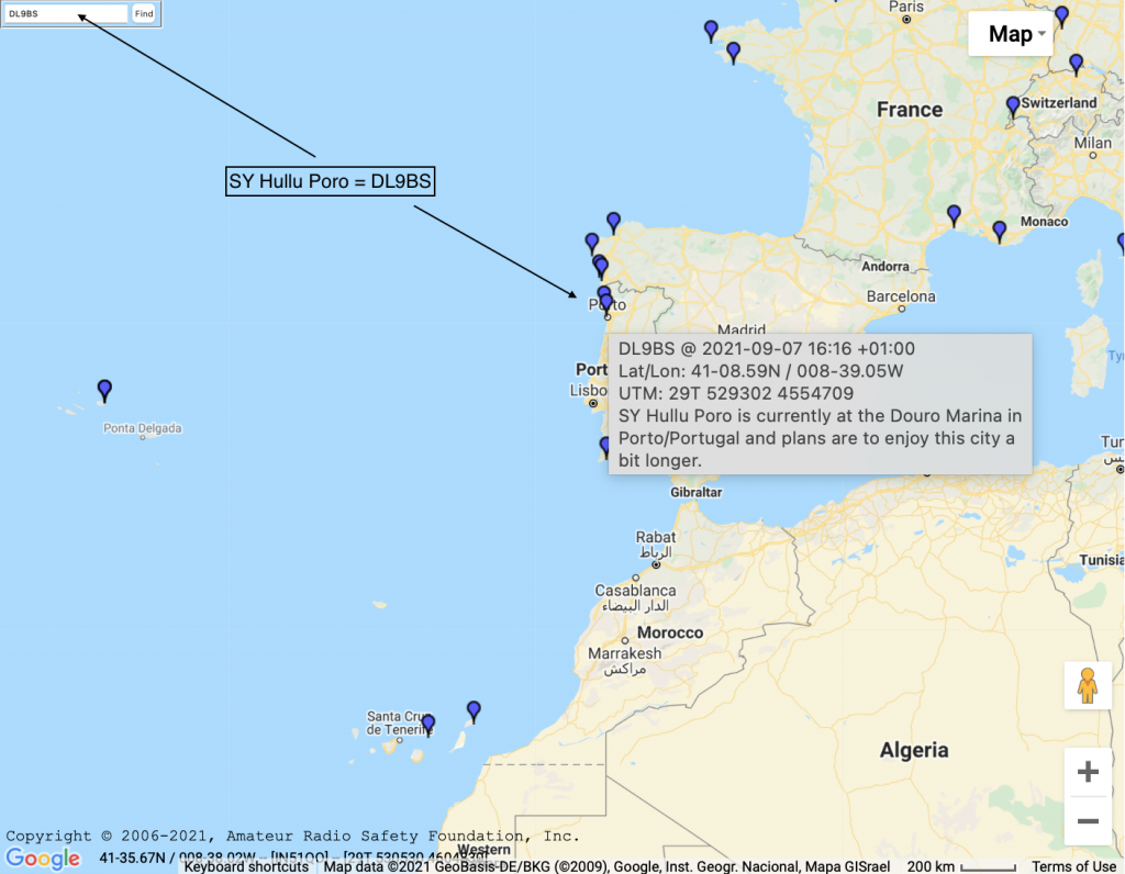
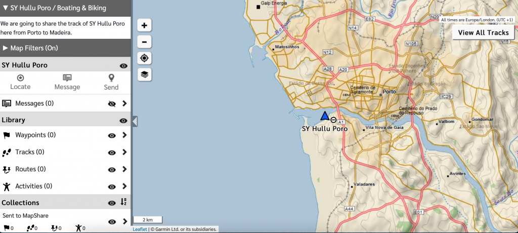
1. Noforeignland via HF Ham Radio (updated min. once per day) 2. Winlink via HF HAM Radio (updated min. once per day) 3. Garmin Explore via Iridium (updated every 10minutes)
All going well, these three sites will report our postion with a different timebase. To me it is more a safety feature than anything else.
Click on the image and it shall bring you directly to the latest recorded position.
Click on the image and perhaps zoom out a bit for the right scale. You might move the mouse on the position to see some short messages as well.
Click on the image and perhaps zoom in to get to the latest recorded position.

Leave a Reply