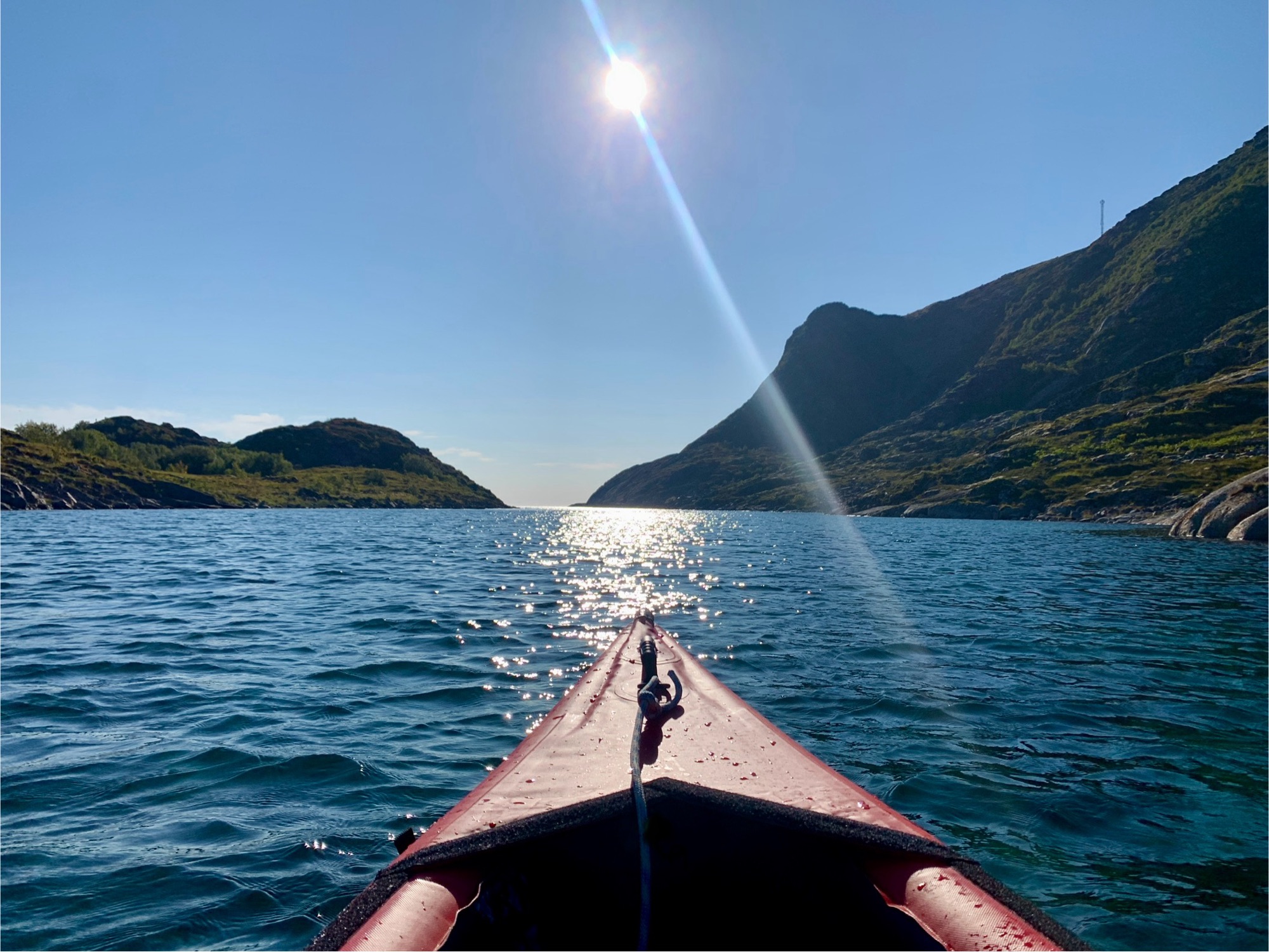
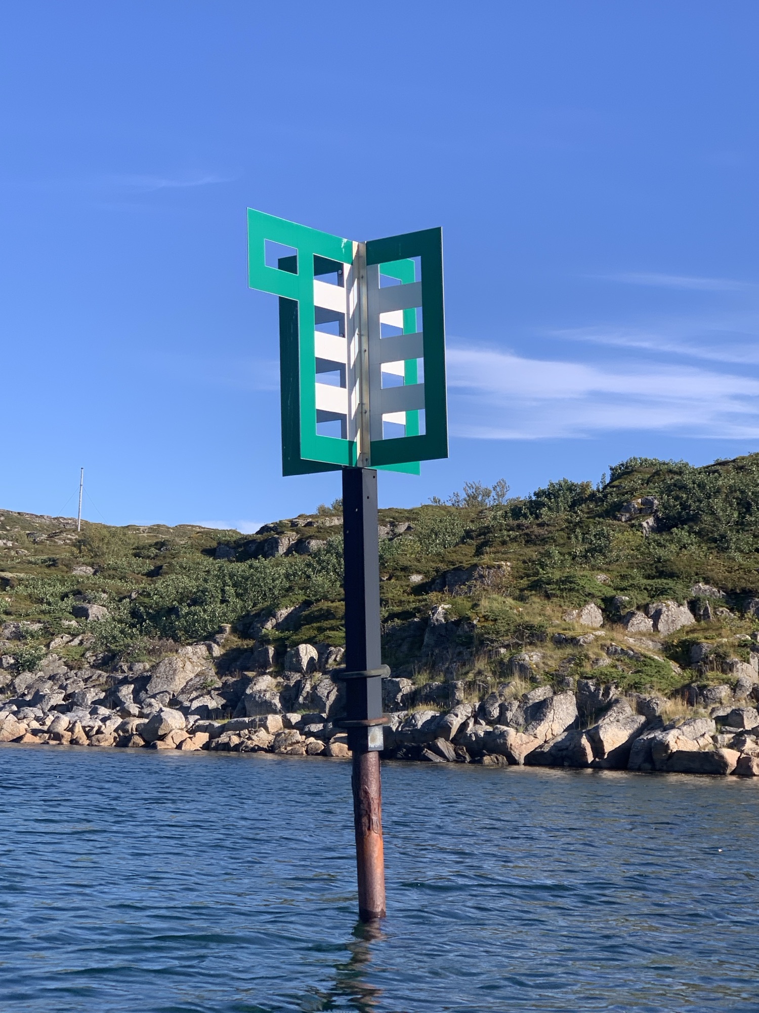
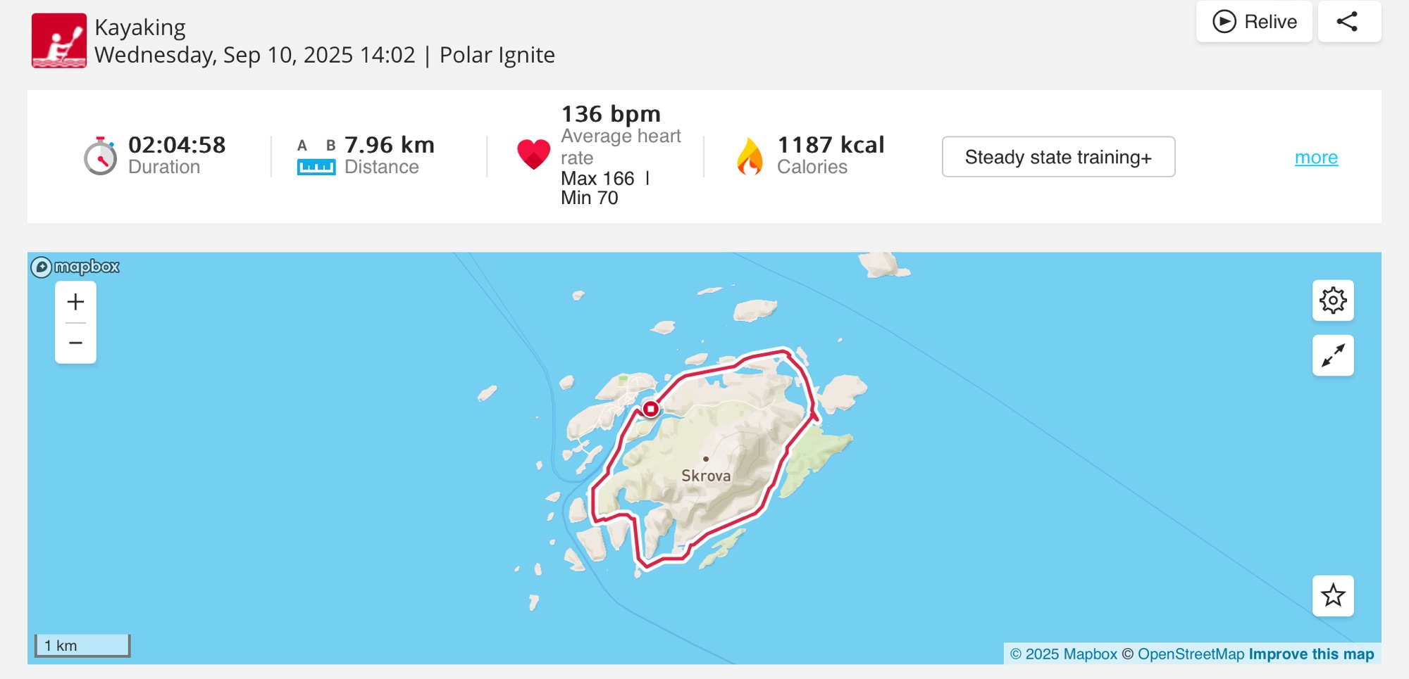
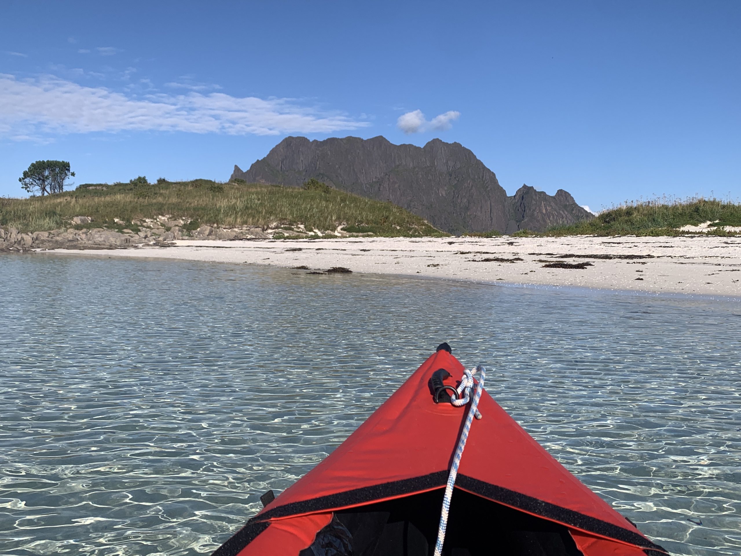
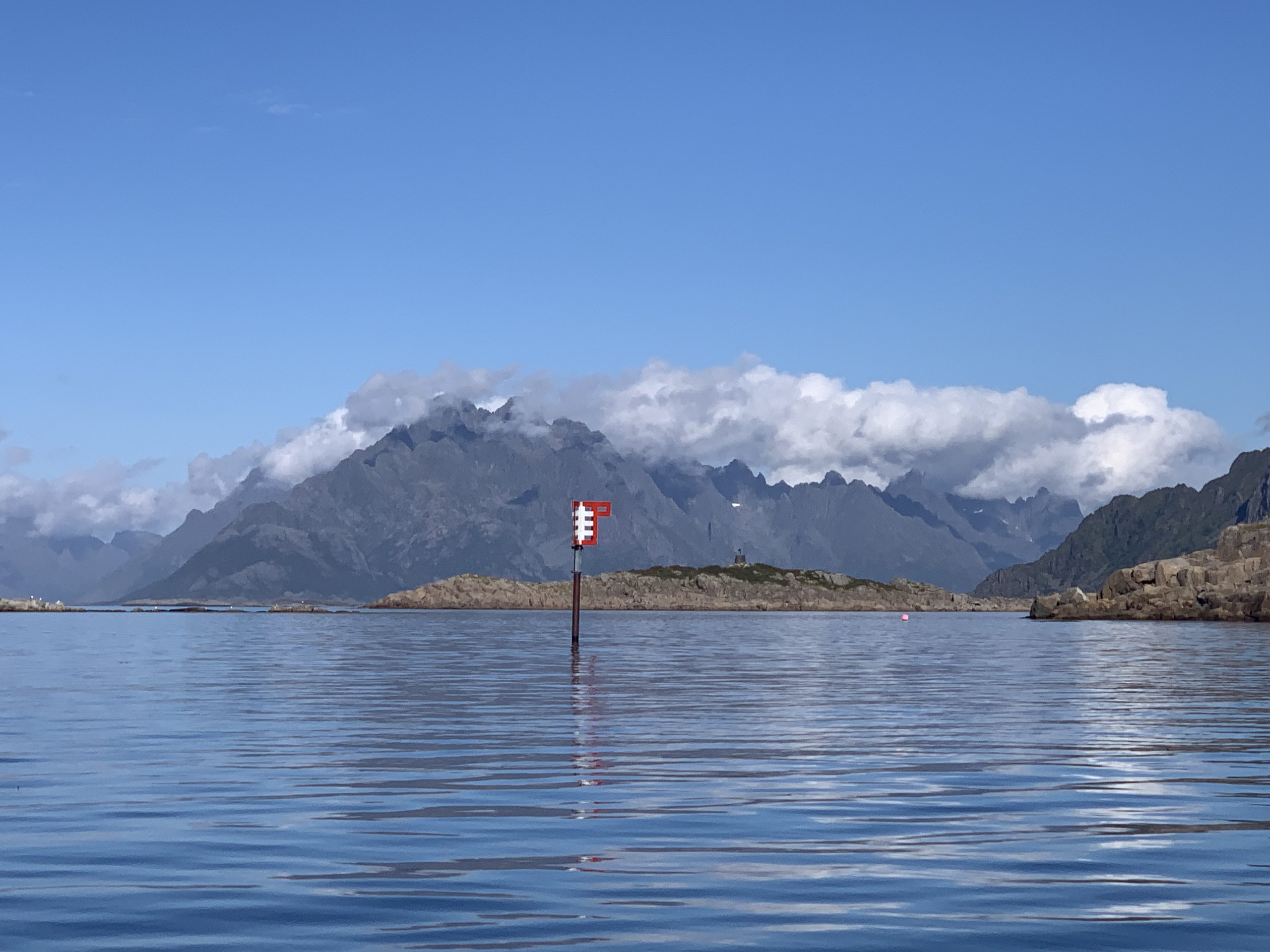
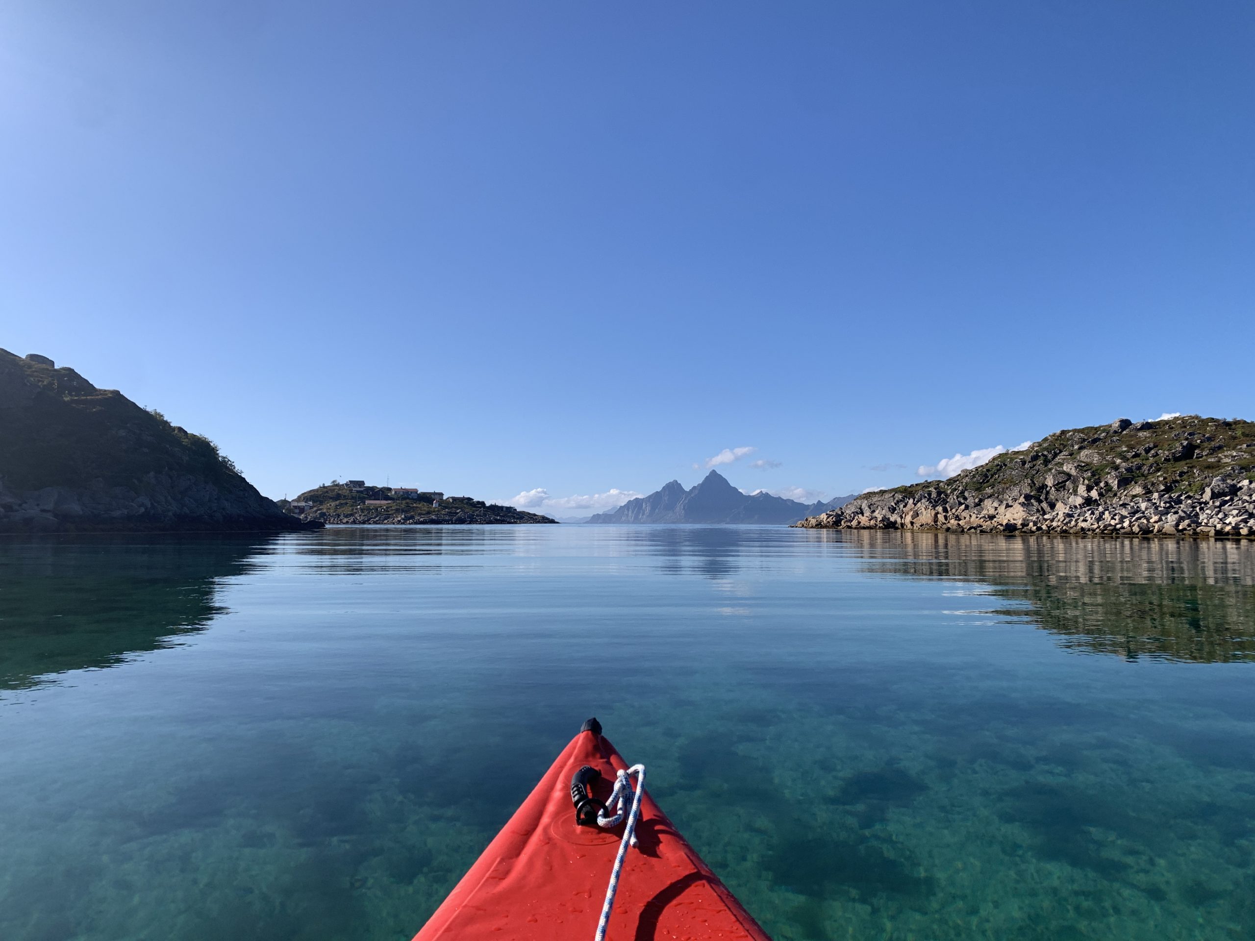
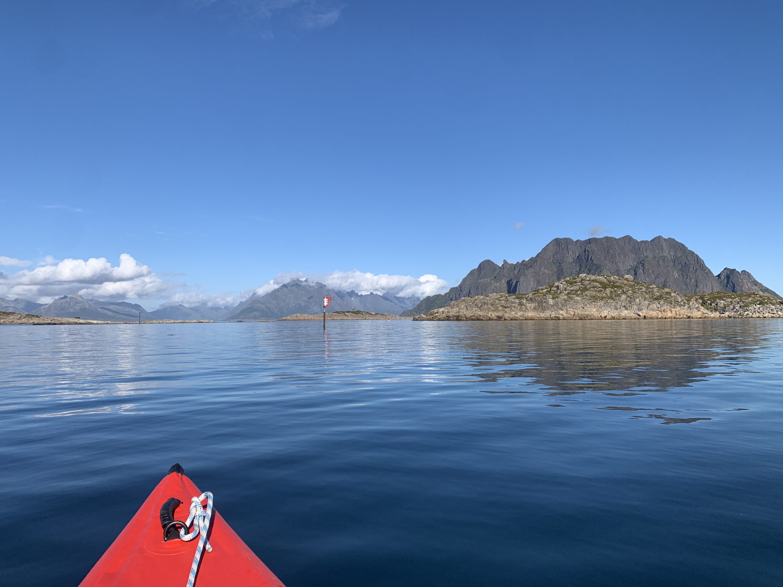
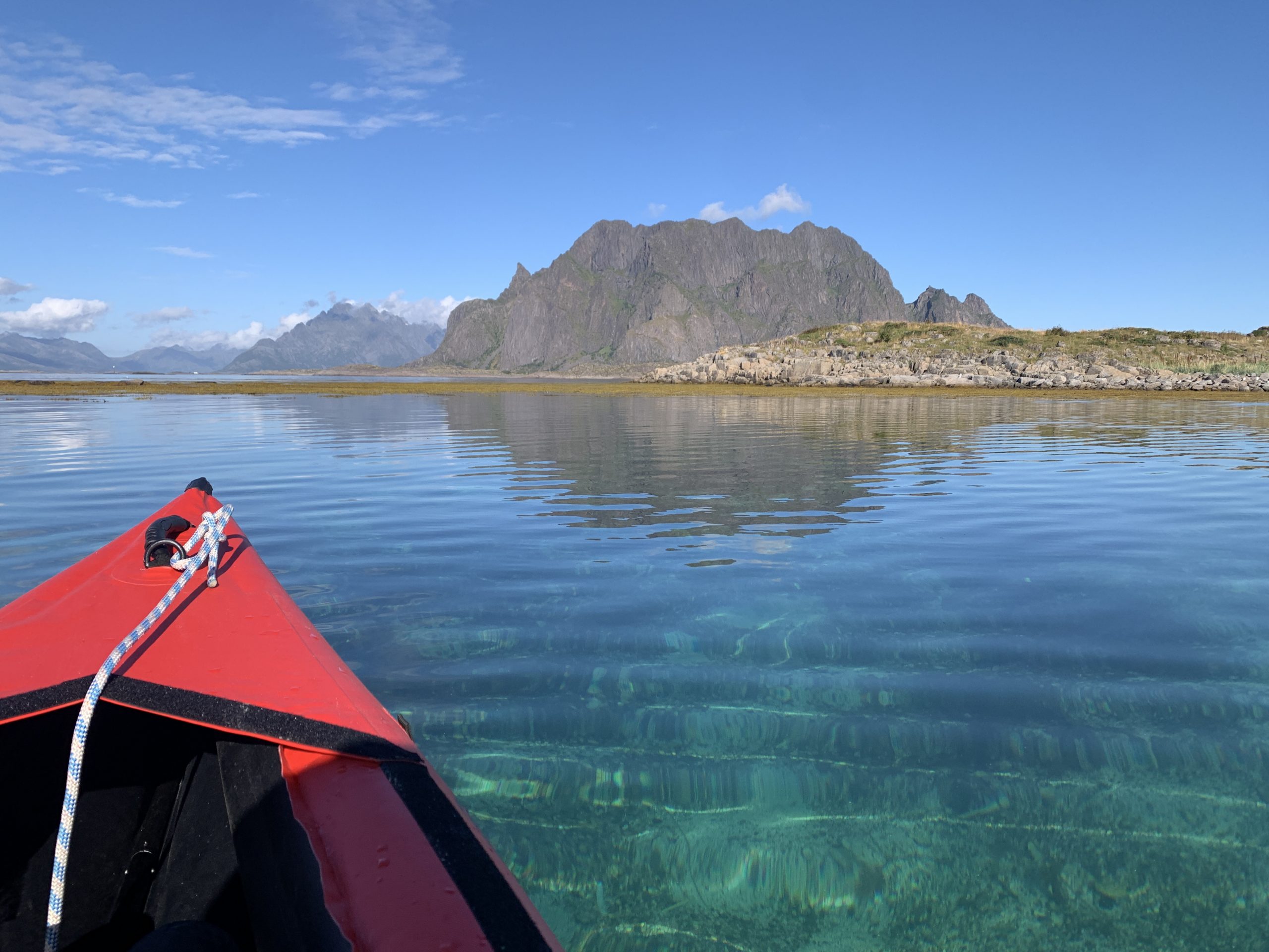
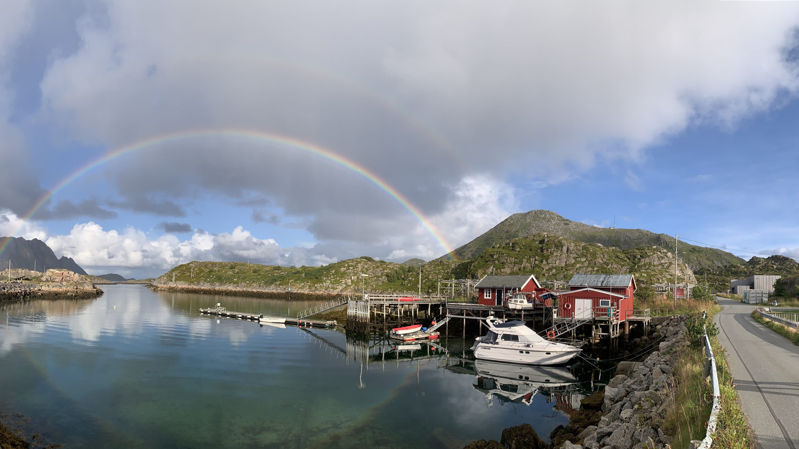
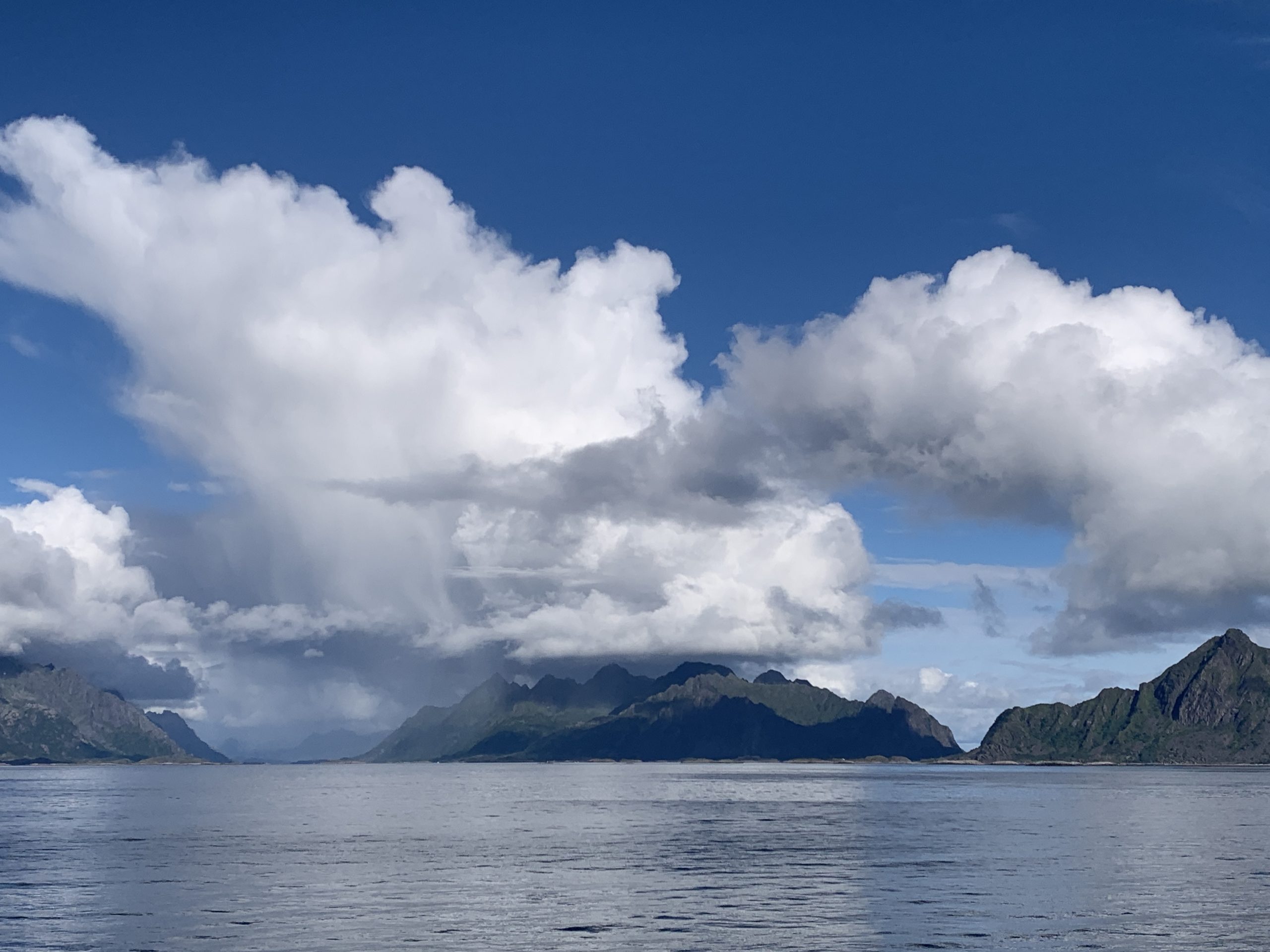
It was a memorable and contemplative paddling today around the Skrova Island. Calm and slightly rough conditions playing hand in hand, just as it goes in normal life, sometimes. The buoyage in form of a crossing, also trying to give direction as shown on the photo; sometimes hard to understand but mostly helpful. I will remember this Round Island Paddling (RIP) for many reasons but one:
“On the ocean of life, we are all big ships, that pass through the night.”
I am getting used to Lille Poro 🛶, slowly. Nevertheless, keeping the VHF handheld radio ready in the grab-bag in case needed. Some people would smile about me, in rather good faith…I know that.
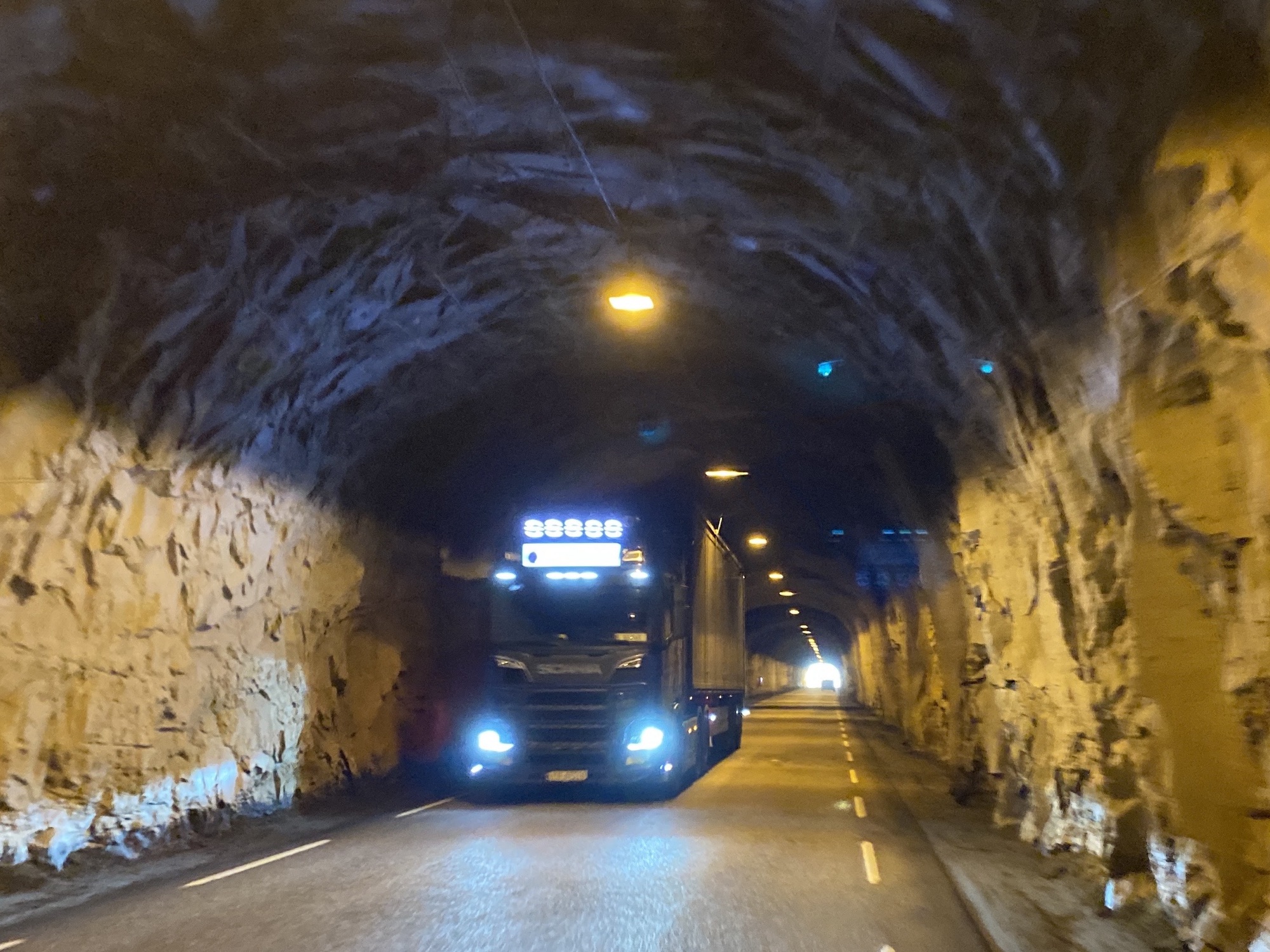
The E10 road covers 850km from Å in Norway to Luleå in Sweden, 18 tunnels, all in Norway. One of them connects Kabelvåg and Rørvika. Berfore 1974, the tunnel’s opening year, Rørvikskaret (karet = pass) was the only way for cars and busses to pass the ridge. Today a hiking and a rough gravel adventure.
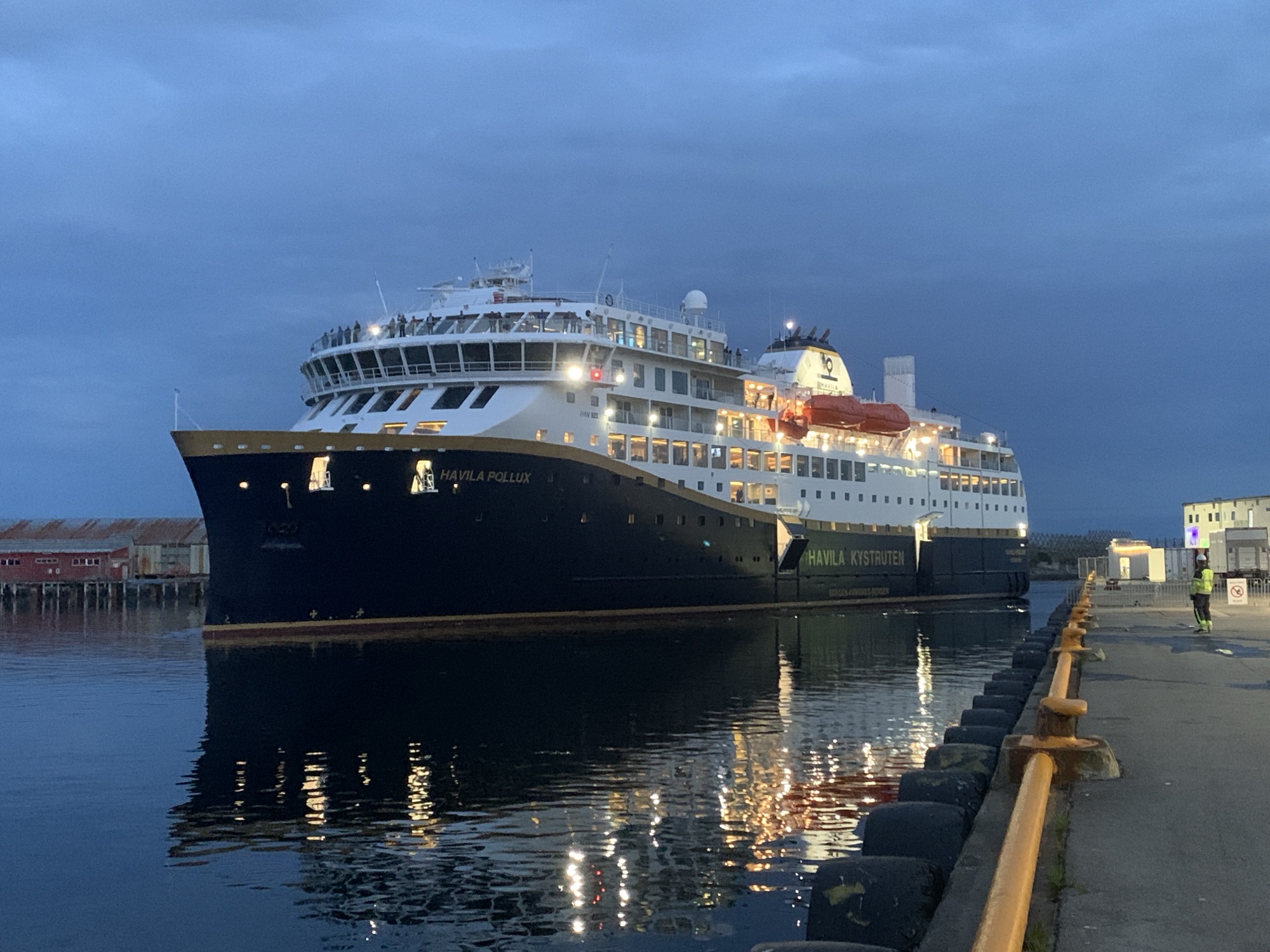
It was Cruise Ferry MS Havila Pollux I had to watch out for bringing Susan back to Lofoten. It sails the Bergen – Kirkenes express route on a 12 days routine. Impressive and modern luxury travel. Very much on time, 9;20pm.
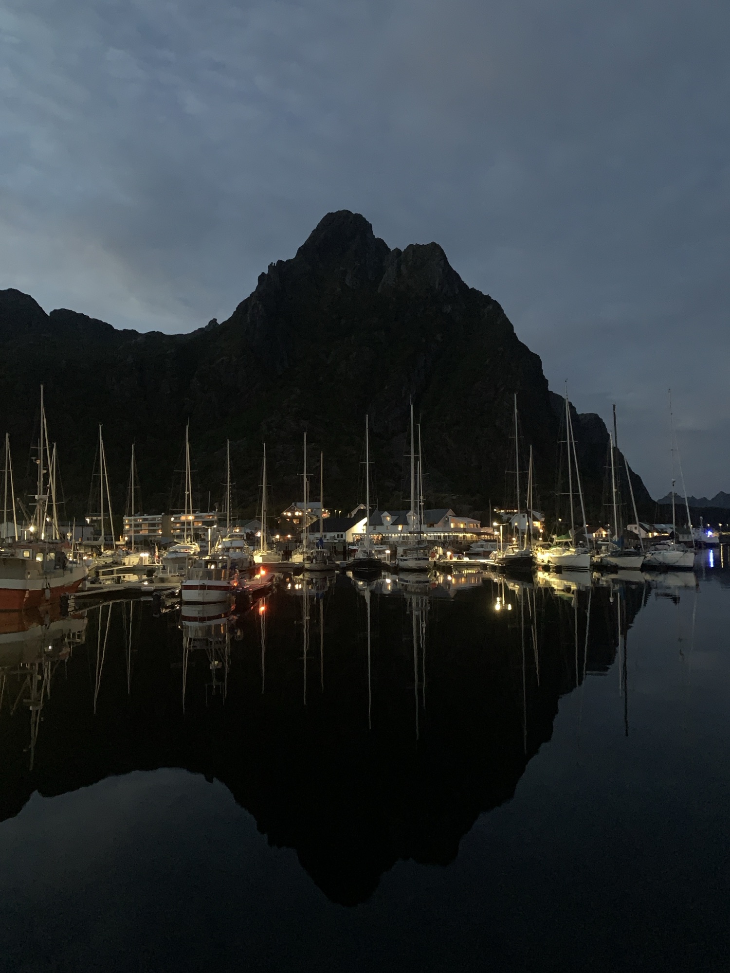
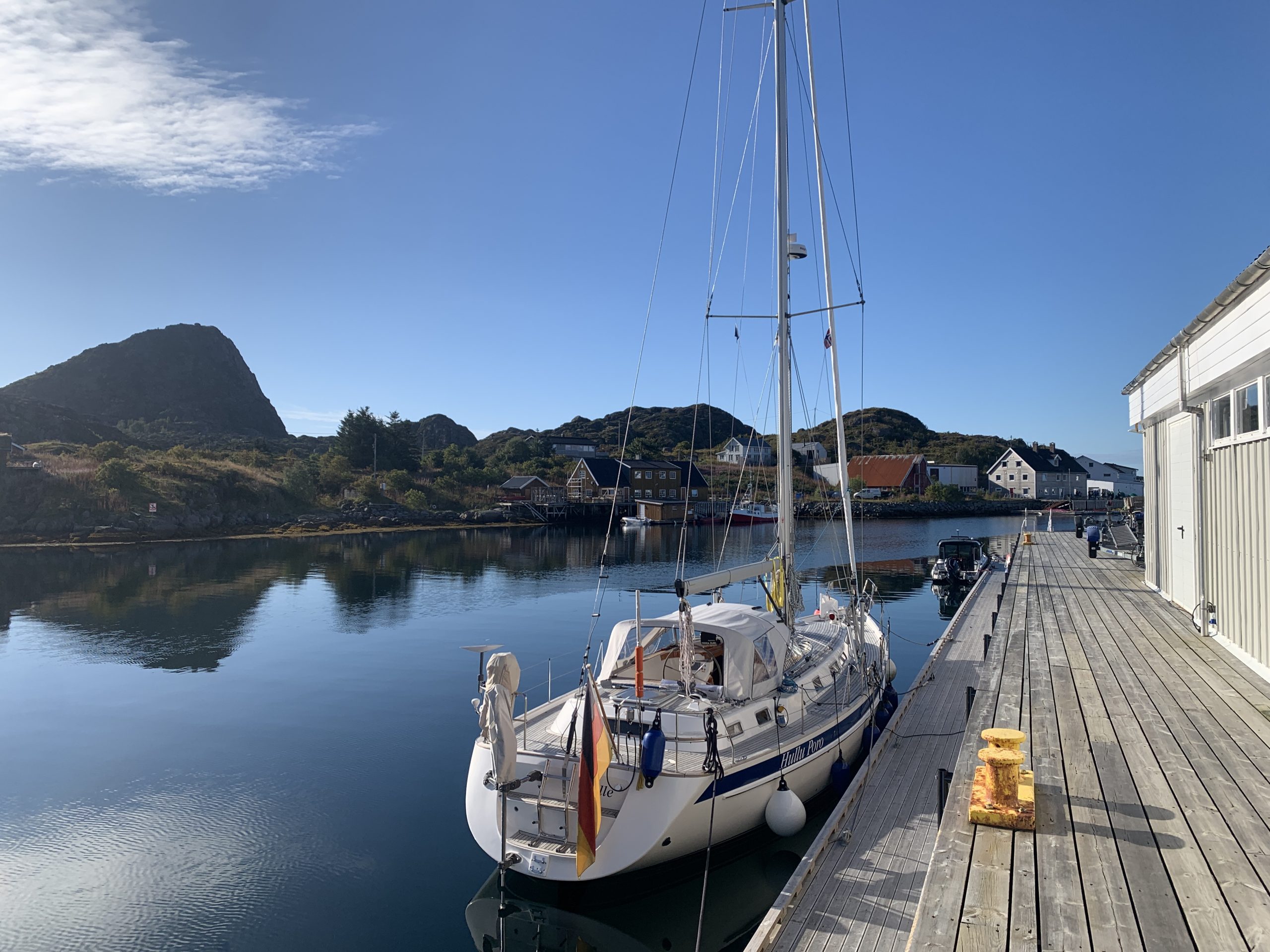
I took The Lady over to Svolvær the day before and moored in Marinepollen under the iconic Svolværgeita, also known as “The Goat”.
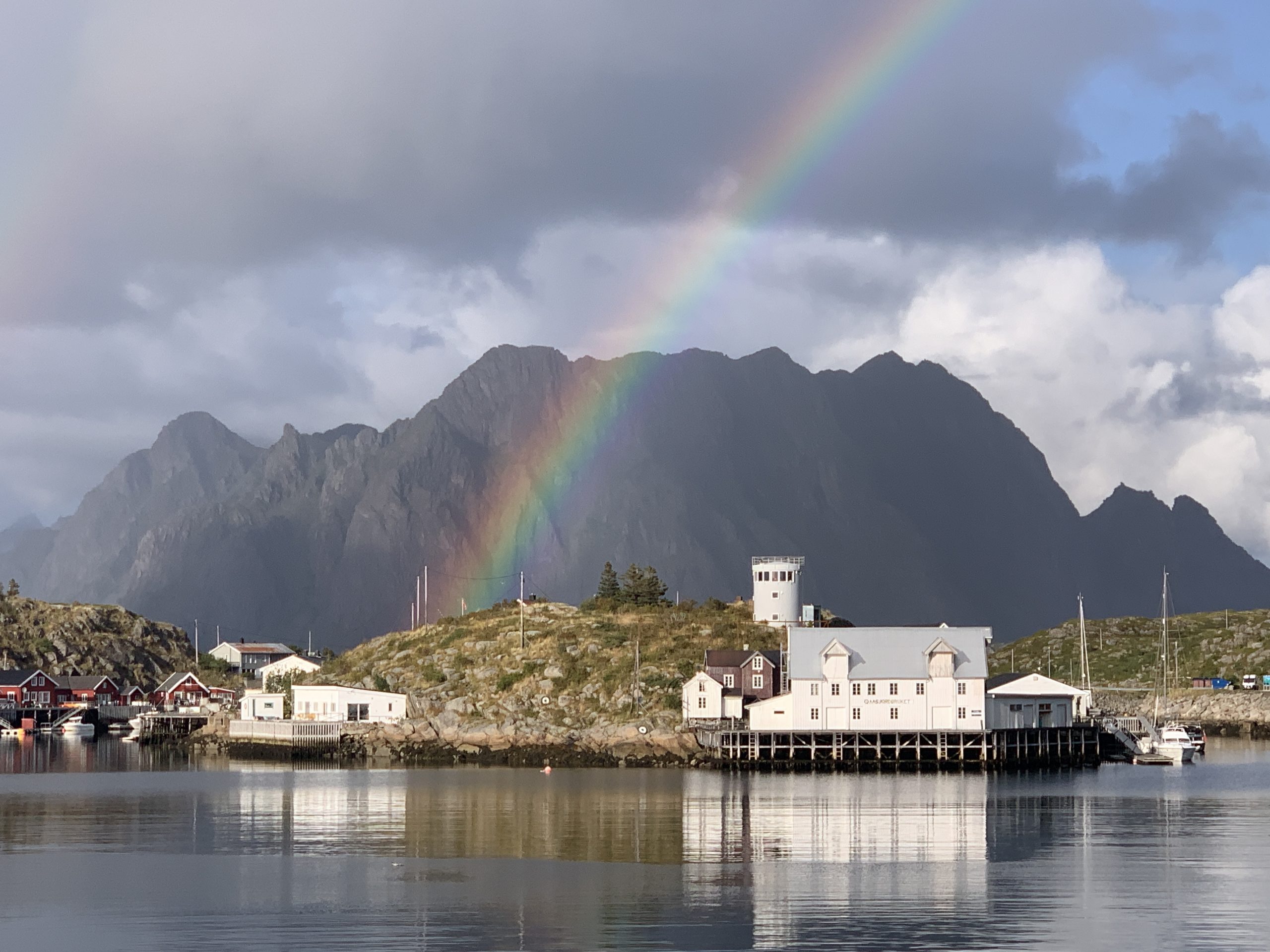
At the time Susan and myself arrived back at our tiny home, the nautical twilight was over with the sun dropping more than 12° below the horizon. Still, at 9:44pm, the time the photo to the left was taken, this northern pinnacle rock presents itself gracefully.
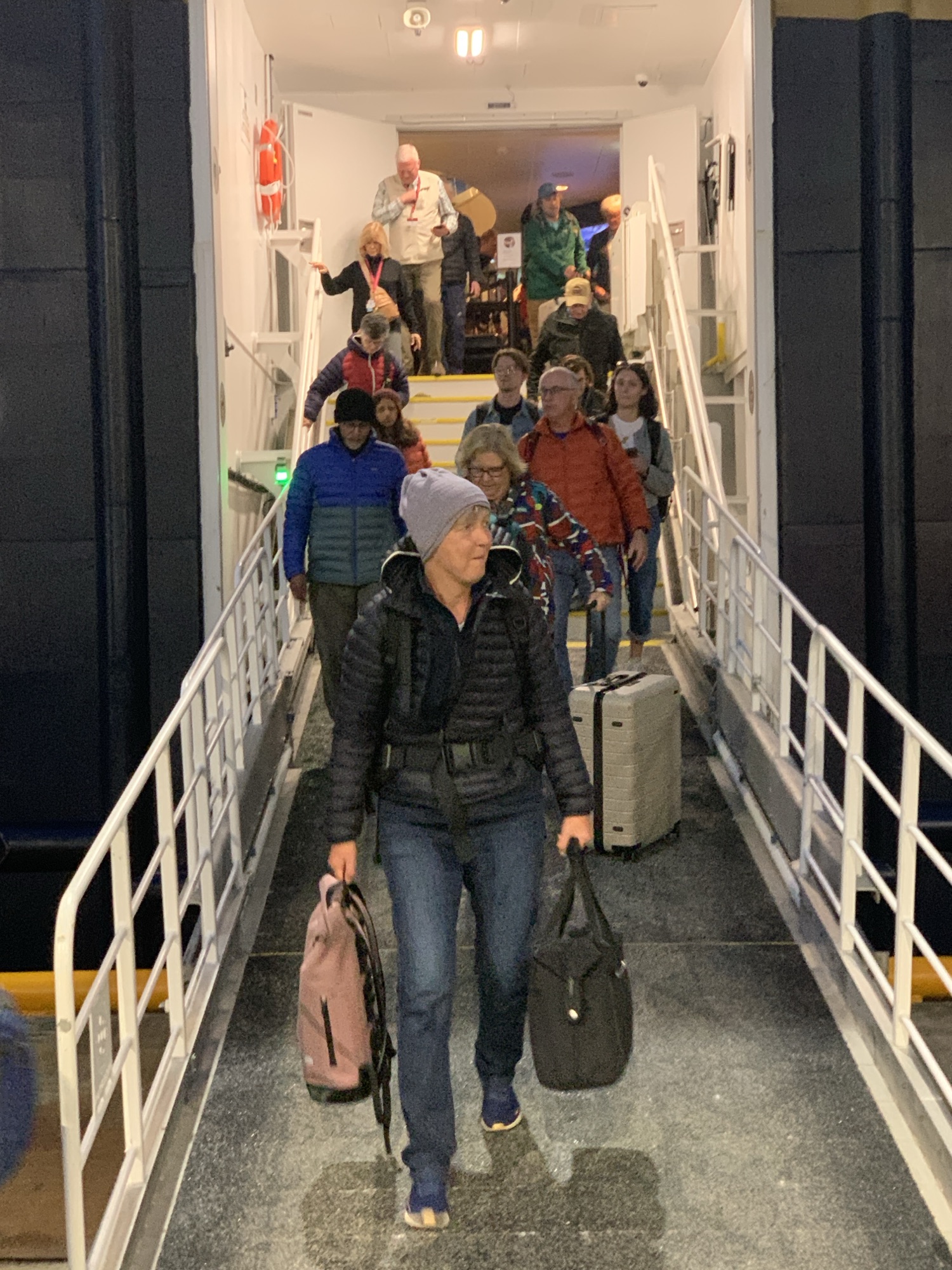
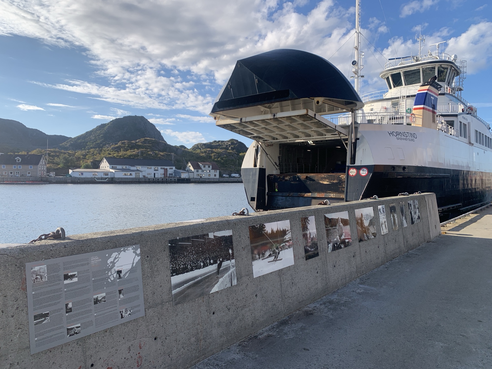
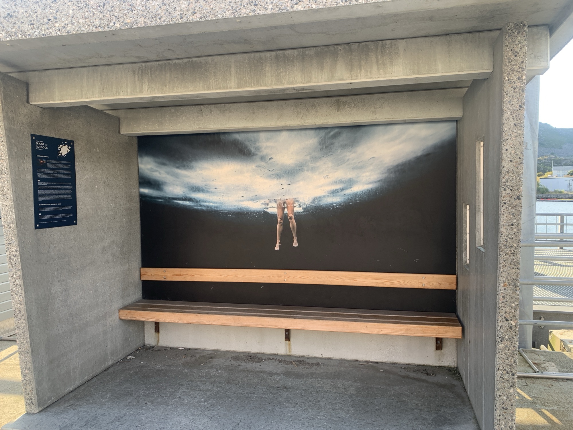
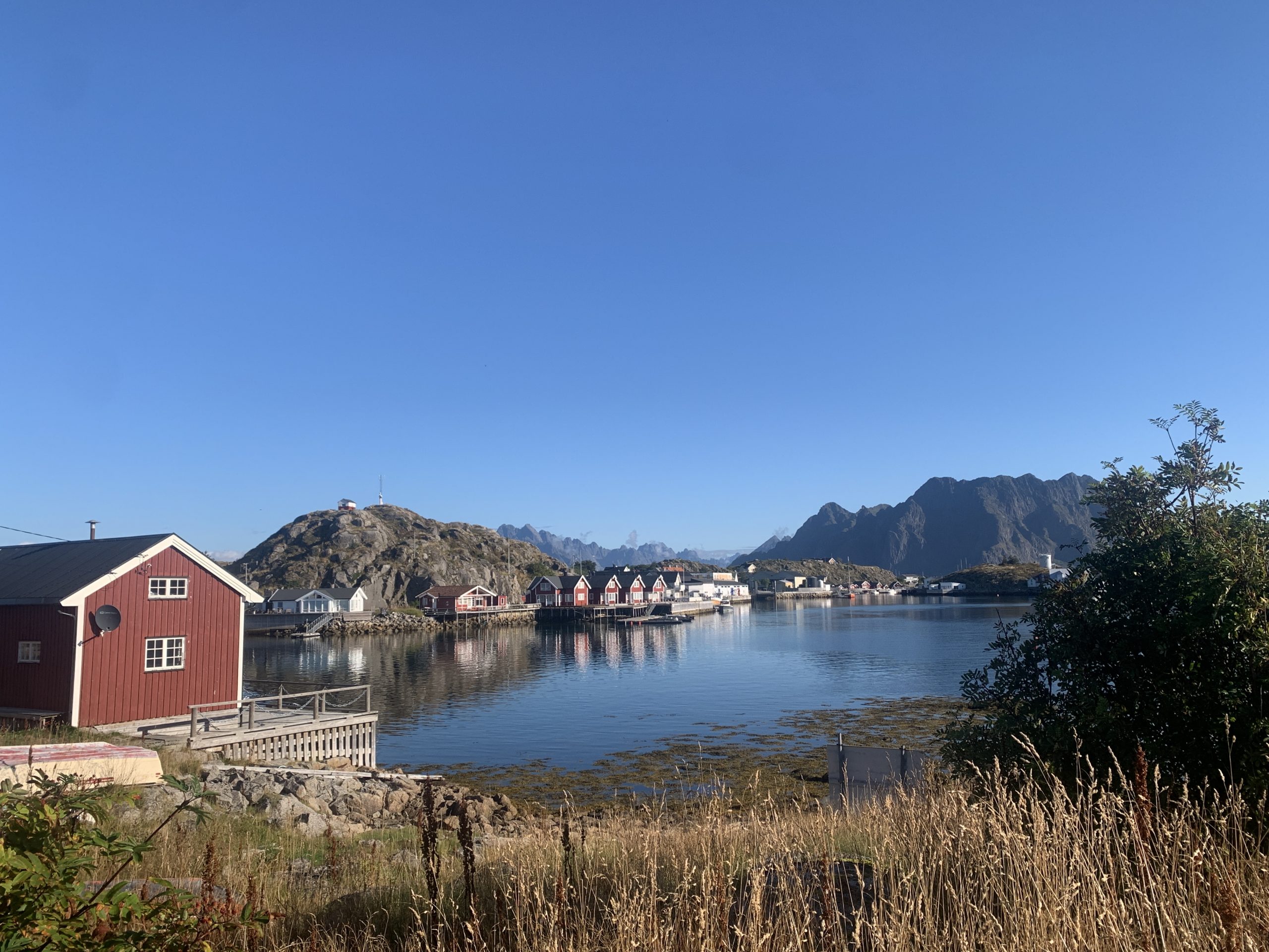
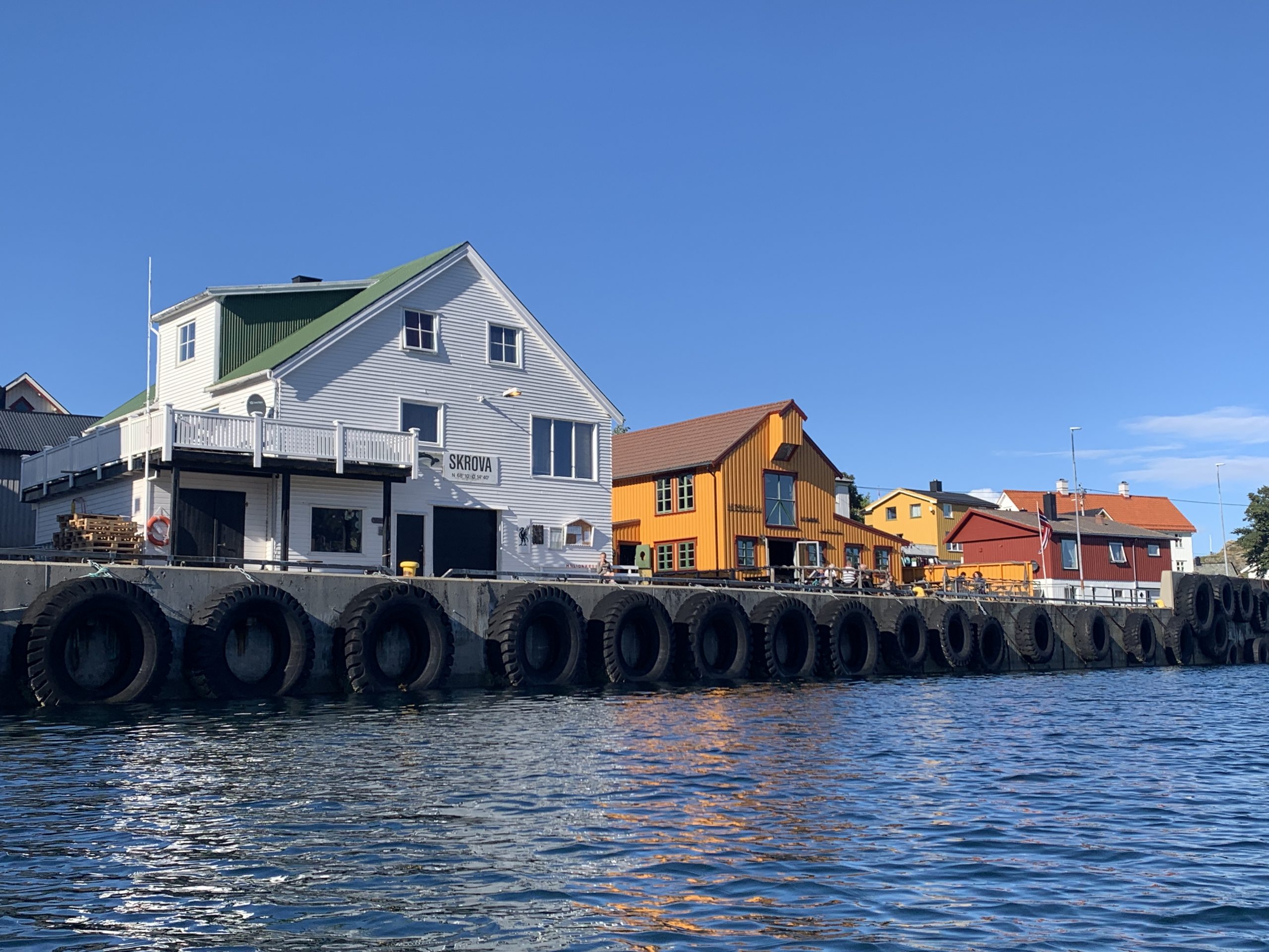
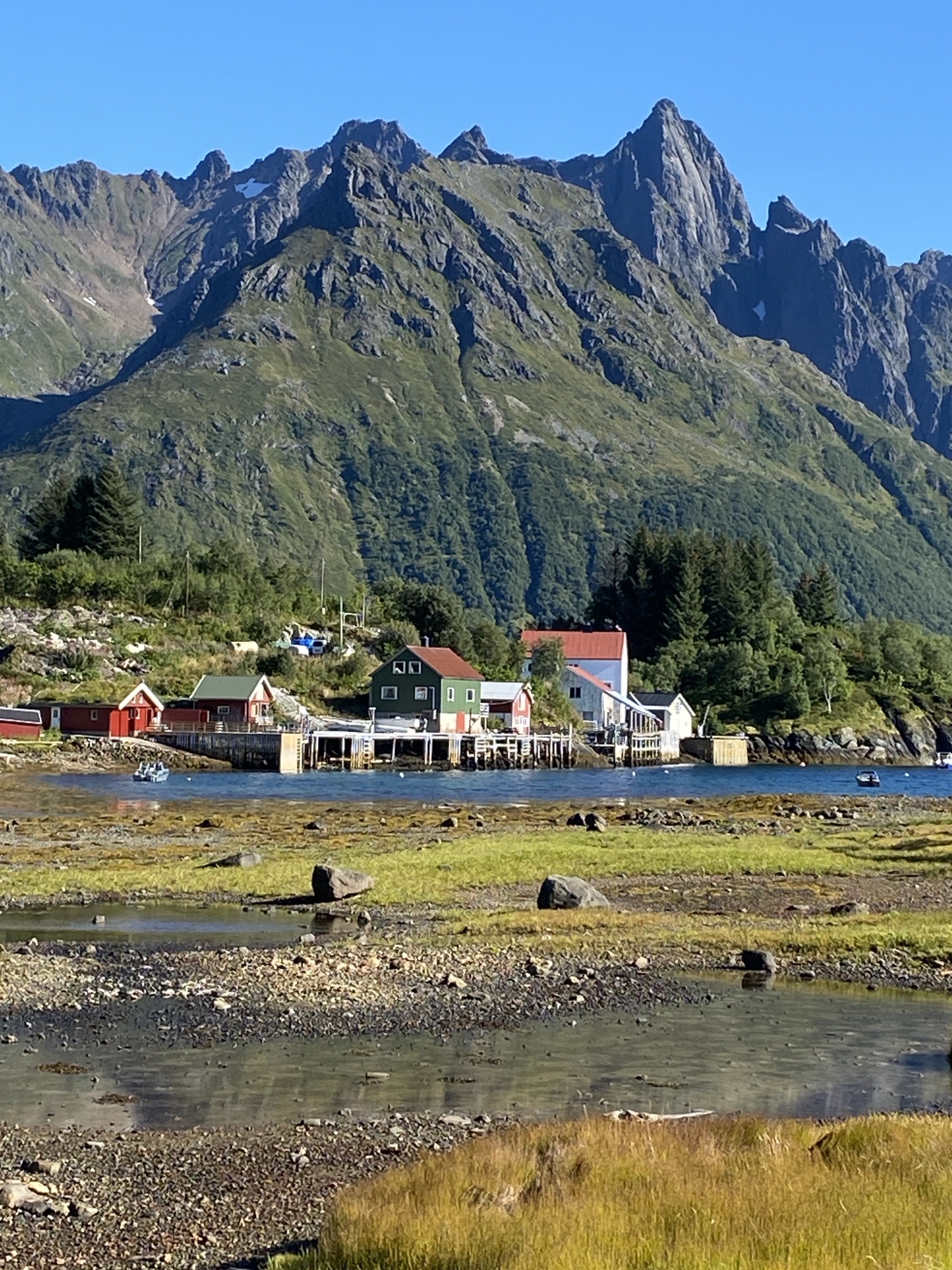
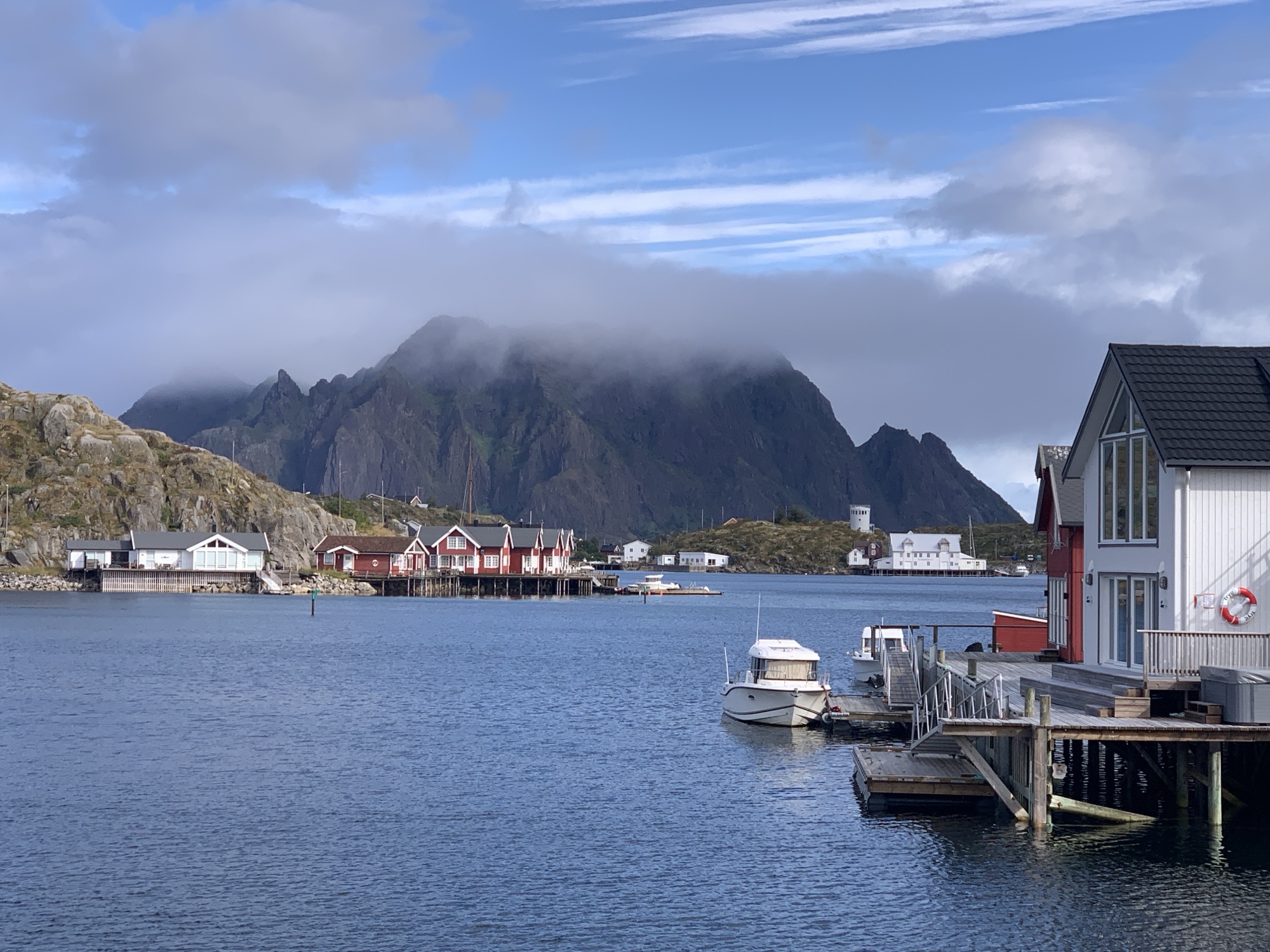
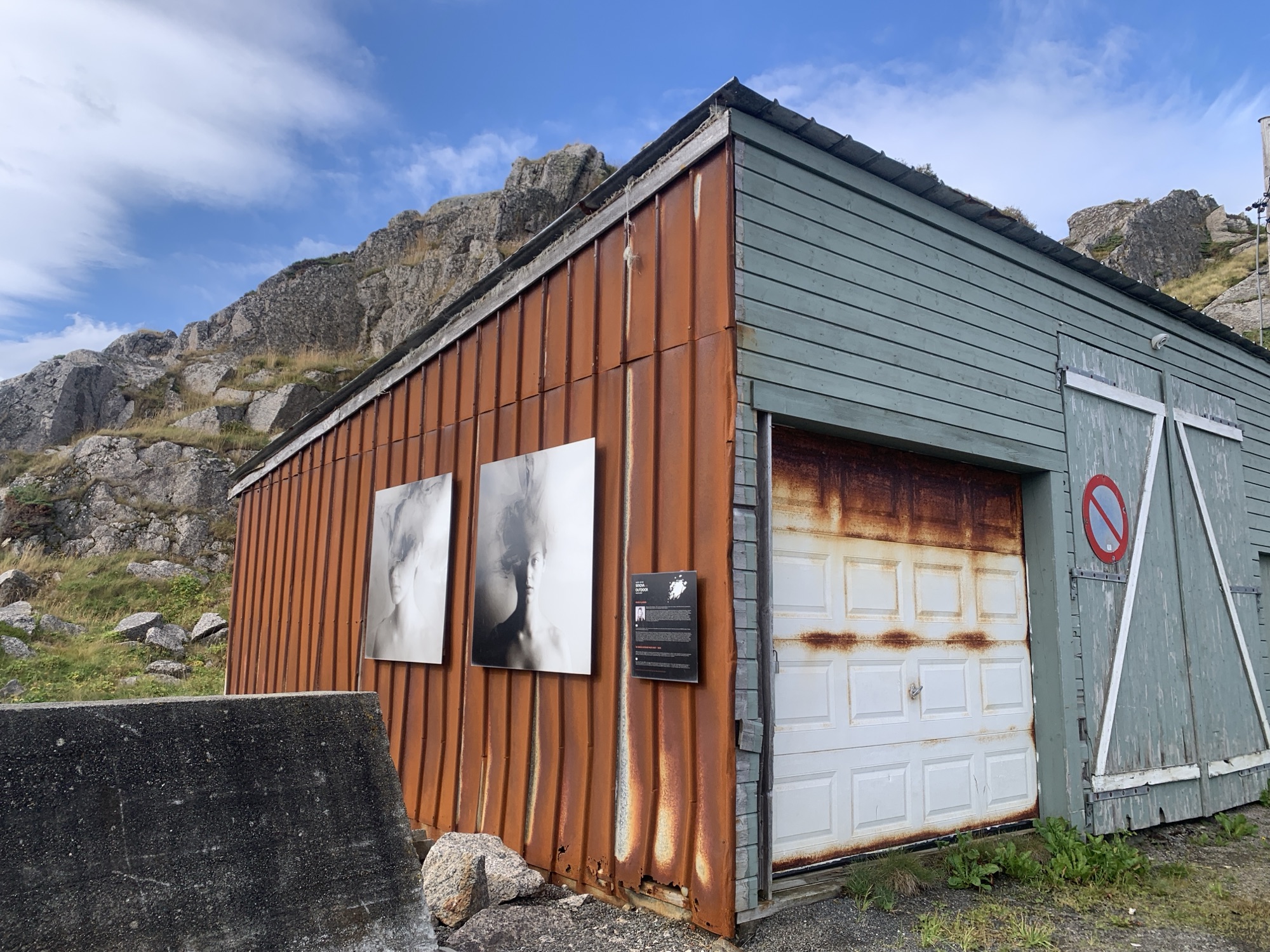
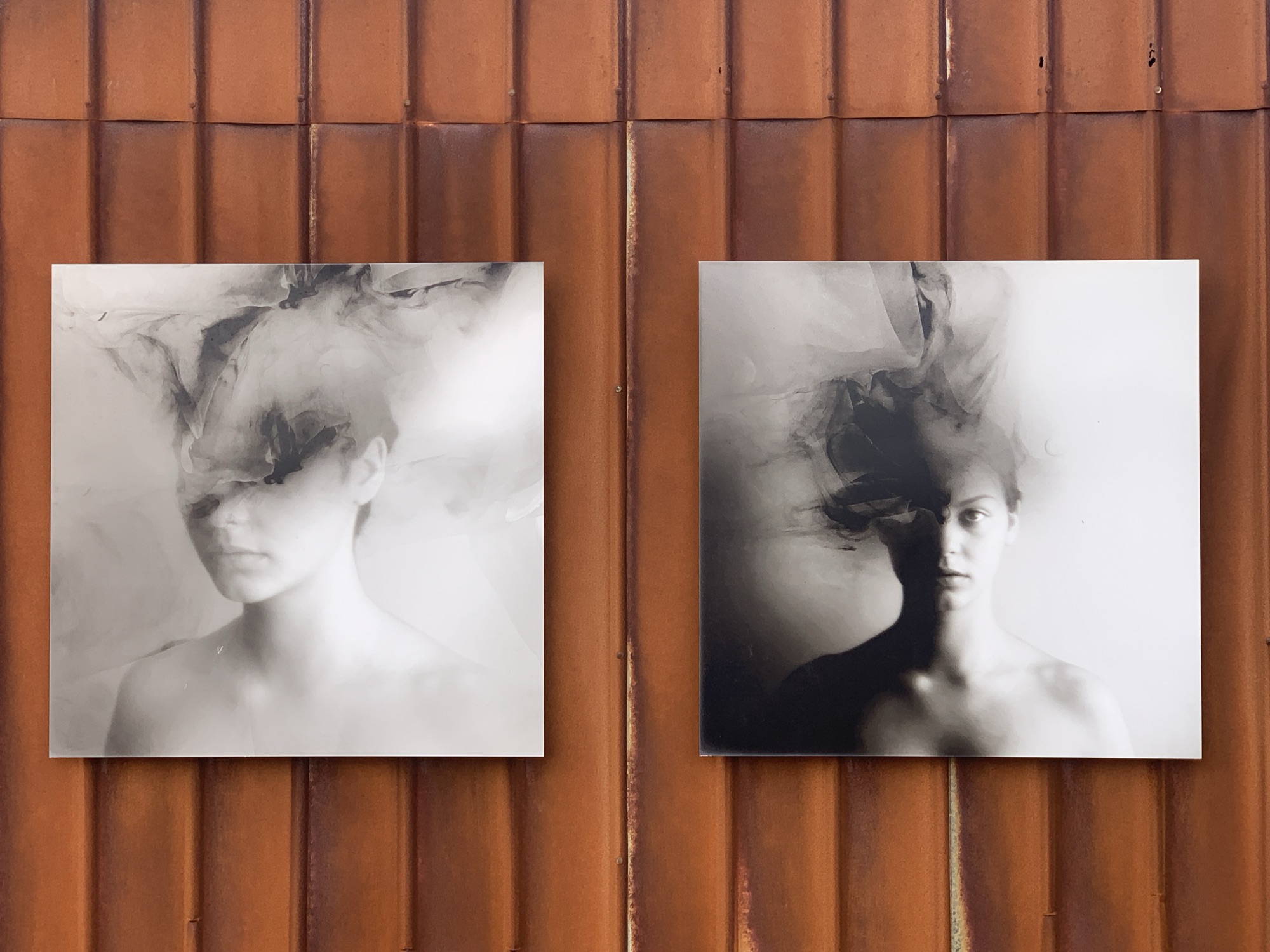
The ferry arrived at Skrova Ferjekai on time this morning and as expected on a calm weather day. In any case, the photo exhibition at the terminal still attracs me during any potential waiting time. Typical Skrova Island.
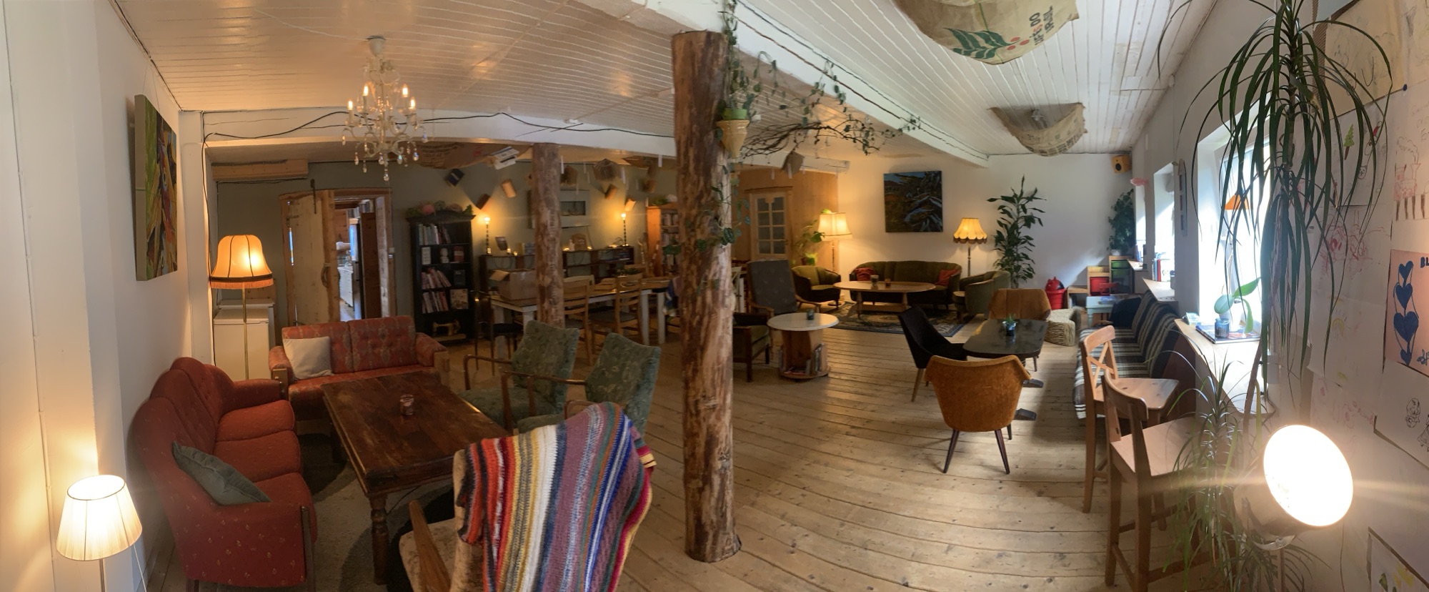
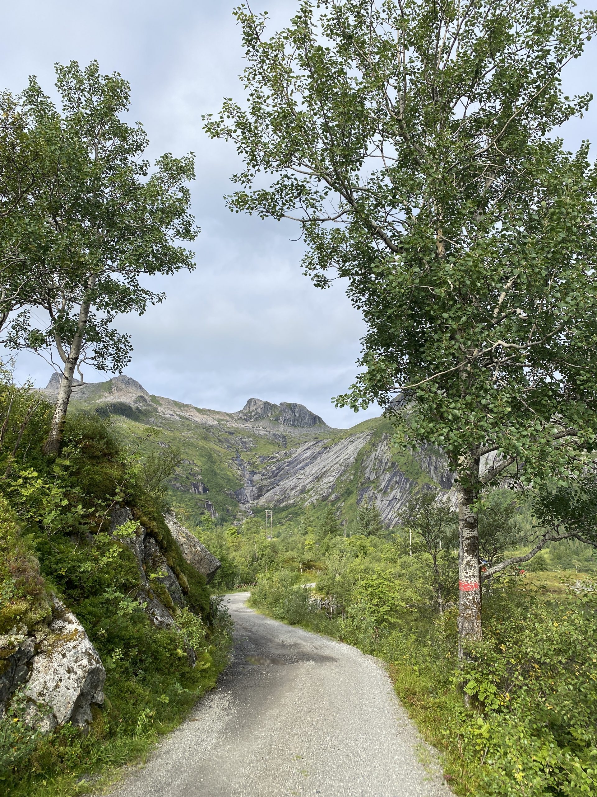
My ride then took me again along the Austnesfjorden until turning left into the Midnattsolveien getting me all along after 20km into the village of Laukvika. While this road is a pleasure to ride, extra motivation came from the delicious home-baked cakes at På KaiKanten Café with its home living room atmosphere.
A german couple running this cosy place.
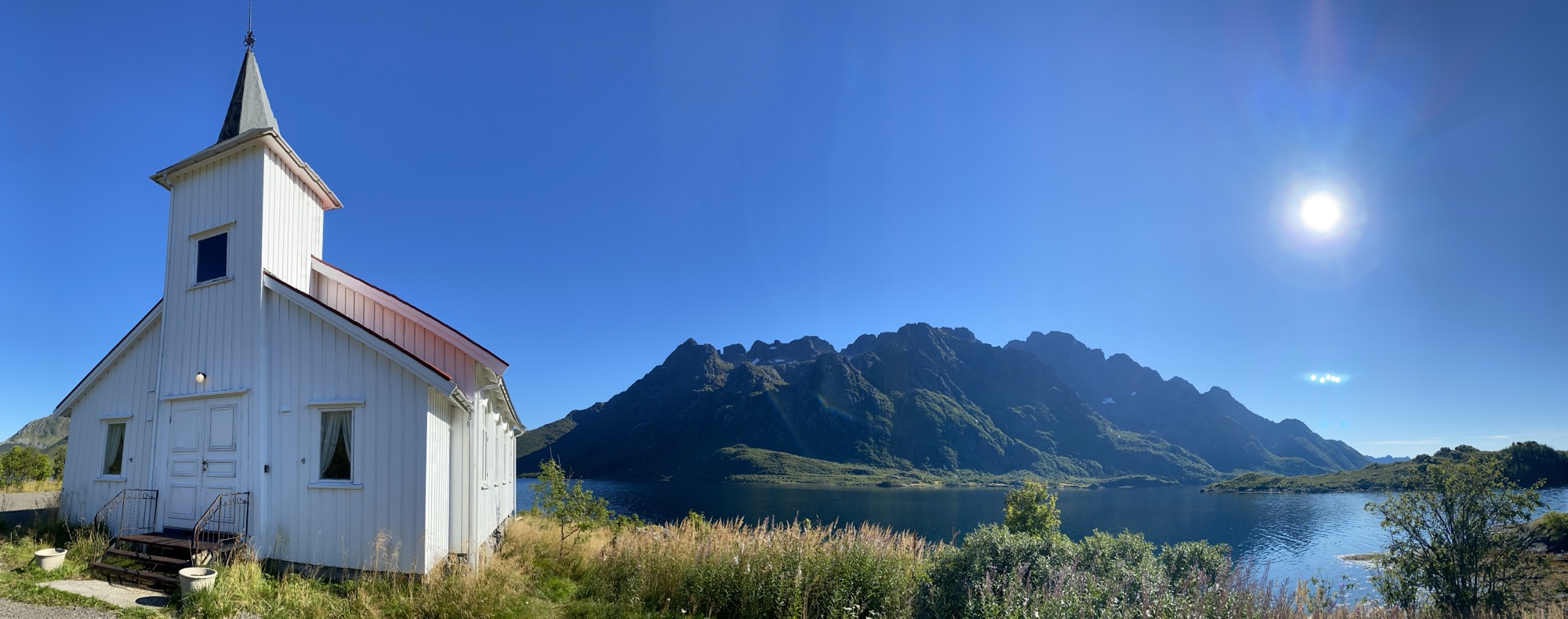
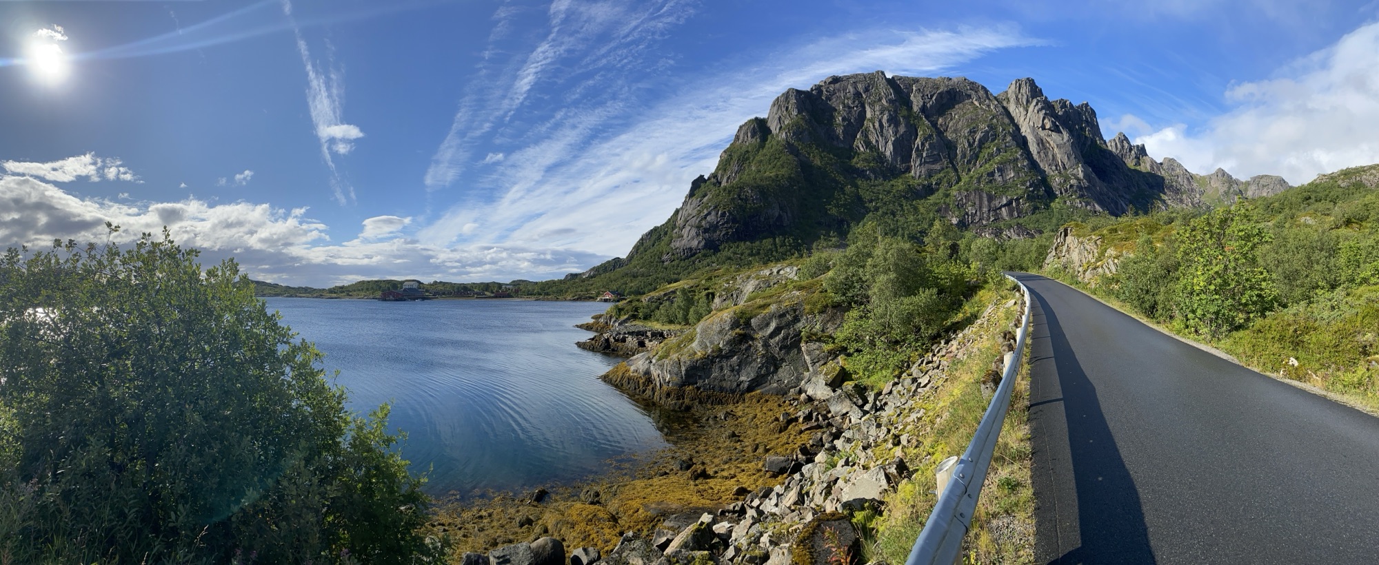
Midnattsolveien looking West from Vestpollen.
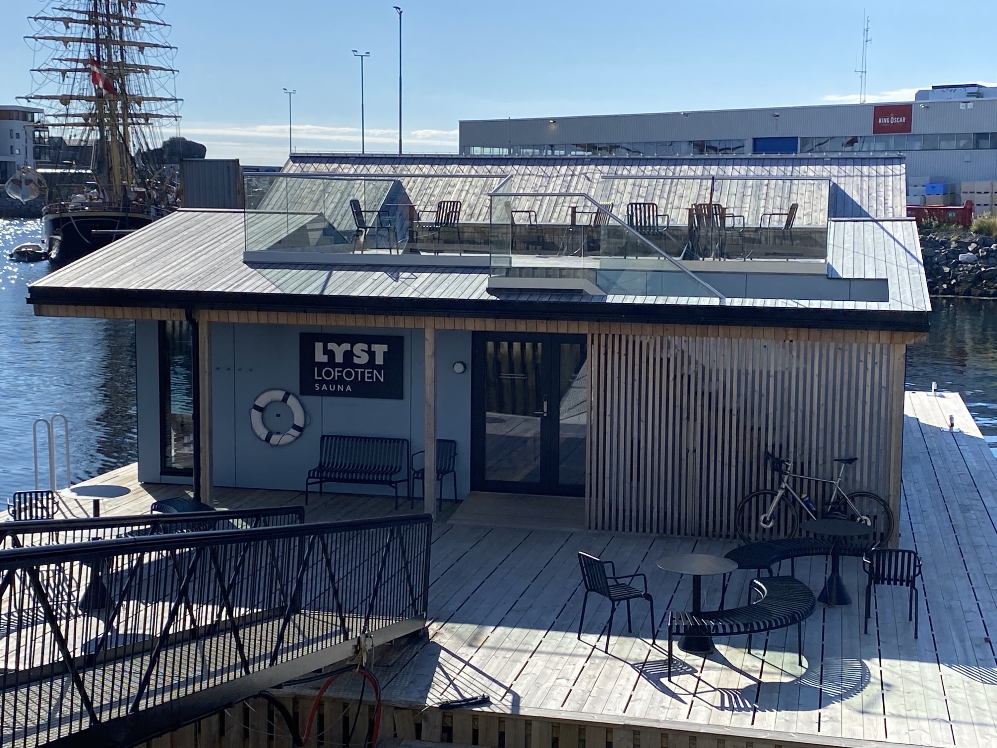
I had pre-booked a sauna session at the Lyst Lofoten Sauna upon my return from the ride. Decent arrangement with a roof top area for break out sessions and elevated jumps straight into the sea. I am not right there yet. Perhaps my yearly membership and monthly subscription will get me there one day…
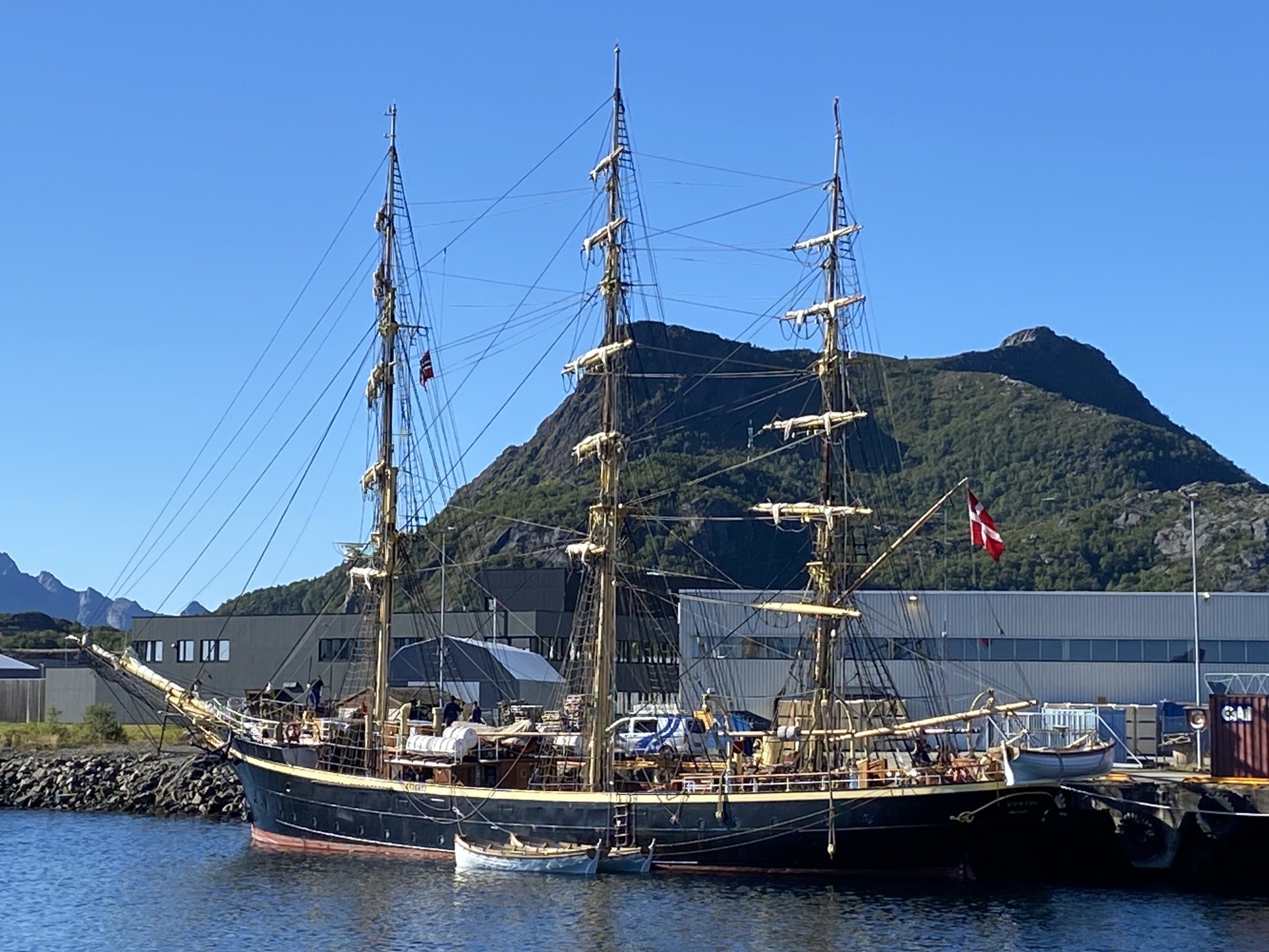
The view, whilst sweating in 90°C, towards the world’s oldest civil training ship – Georg Stage since 1882 – came as a complimentary extra. I have spoken to two young crews yesterday. Great tradition alive, very nice encounter, meticulously maintained tall ship. I wish, I could apply but Danish is mandatory.
Hm, tomorrow will be a rest day with some boat work.
The sun was out and so was I, 8:35am sharp, on the ferry to Svolvær. The E10 was mine as the traffic has decreased significantly by now, perhaps one car each 3km on average, I would guess.
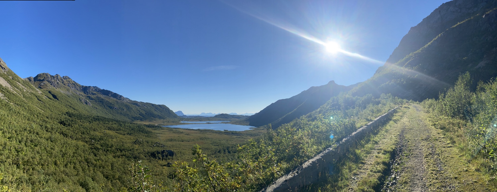
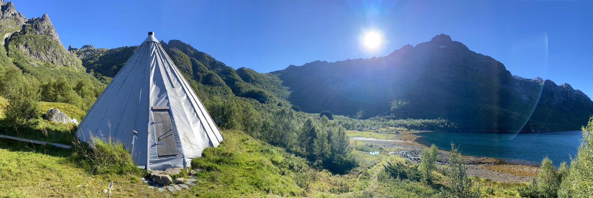
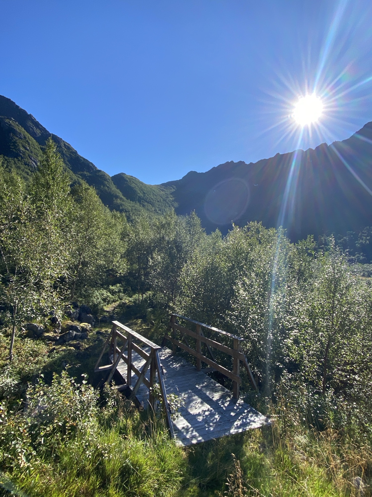
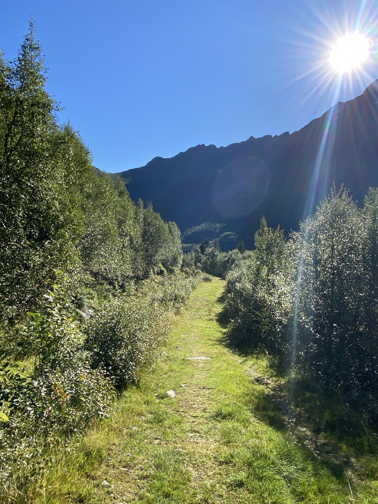
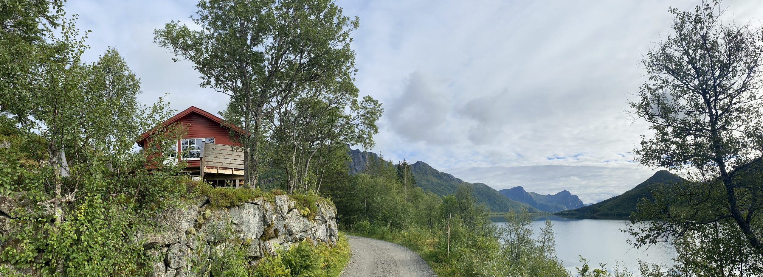
There was a bit of side road left, which I had not done yet with a Sami tent at the end of it. It inspired me for long but today was the day. Lavvu in Austpollen is the official name. What a gem! Will be back.
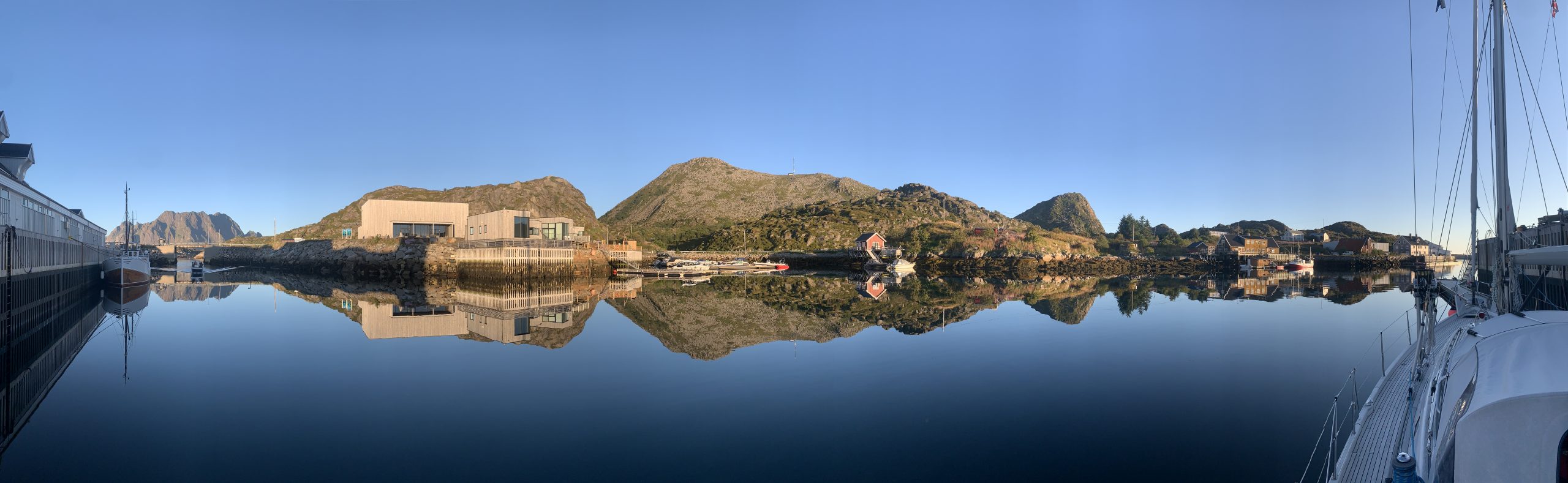
The ferry schedule between Skrova and Svolvær made room for a short bike ride among my appointments in town and I checked out a gravel road ending up at Kongsfossen Kraftverk. Although the hydro power station is not in operation anymore, the road going there has not only been maintained in good compacted gravel conditions but also presenting some nice reflecting views.
My appointment at the Svolvær Politi went smooth and I am now allowed to stay indefinitely in Norway.
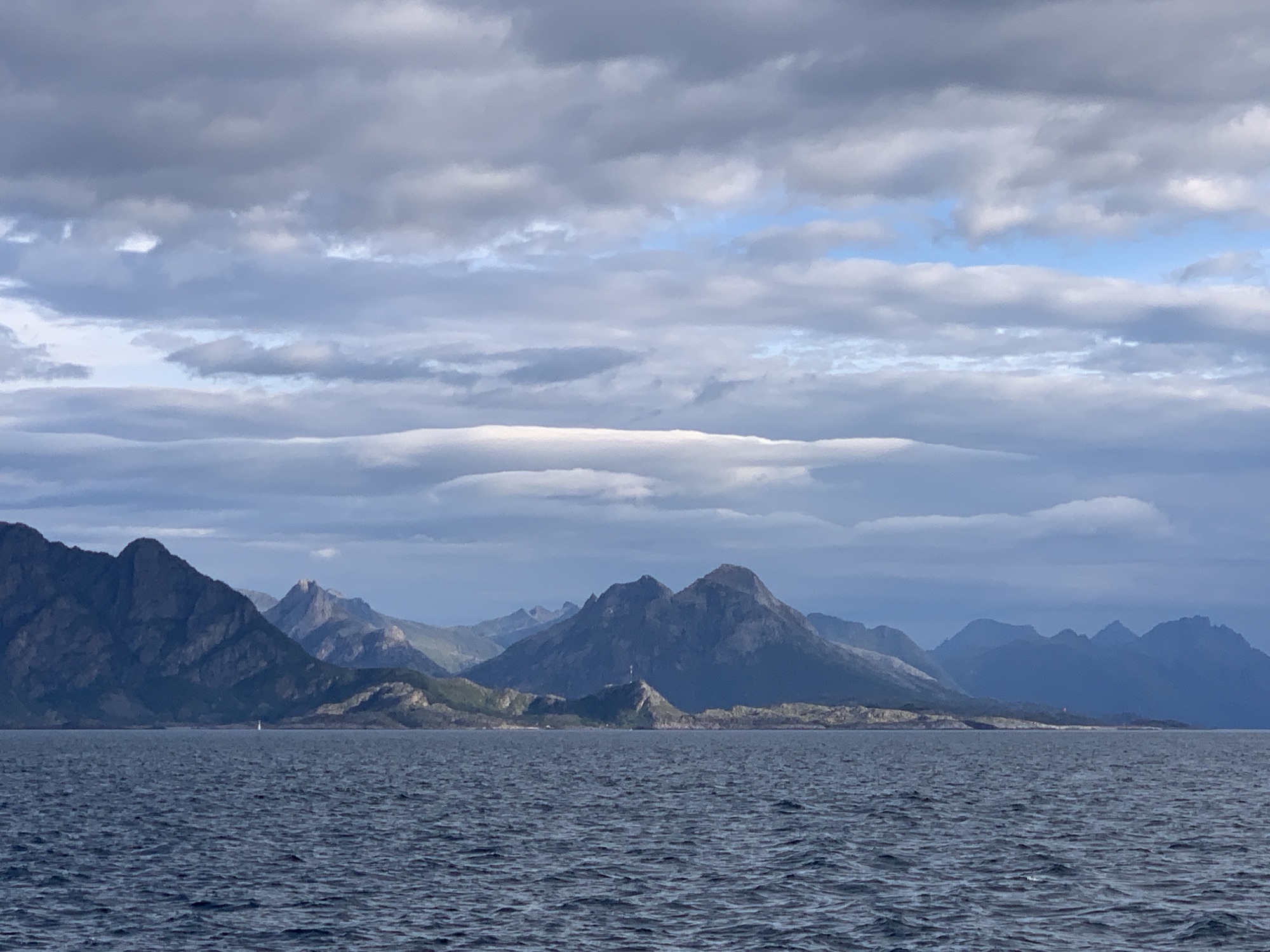
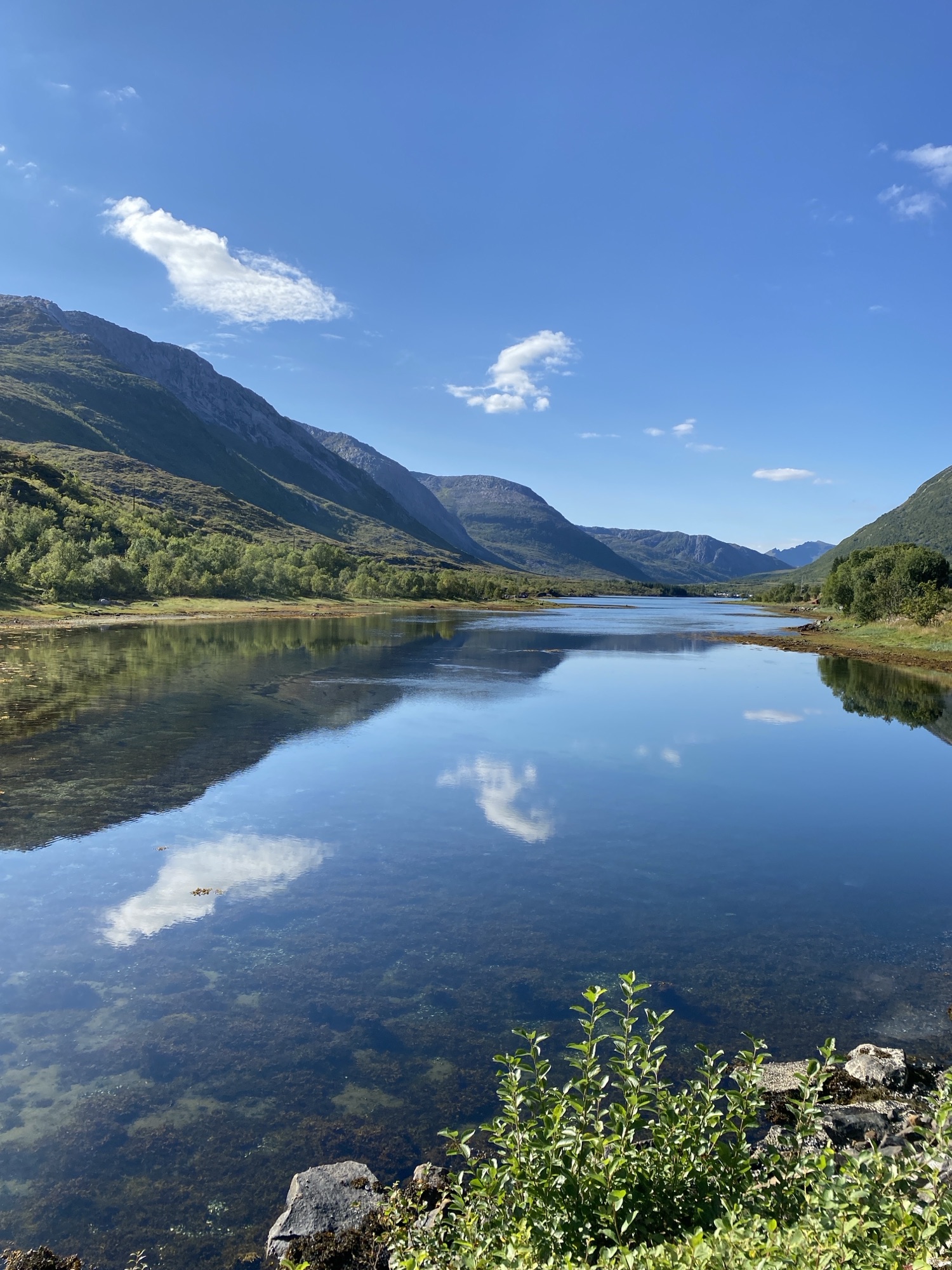
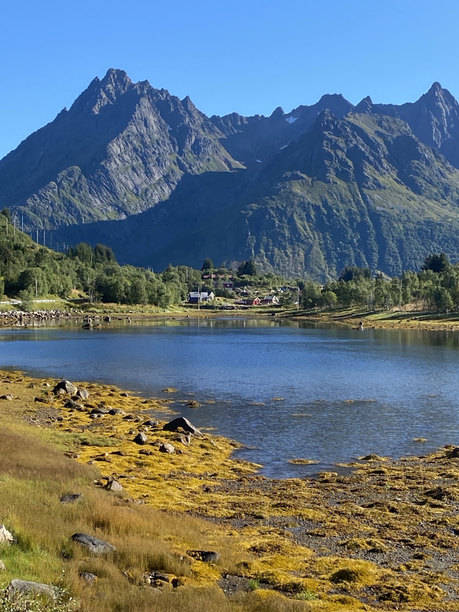
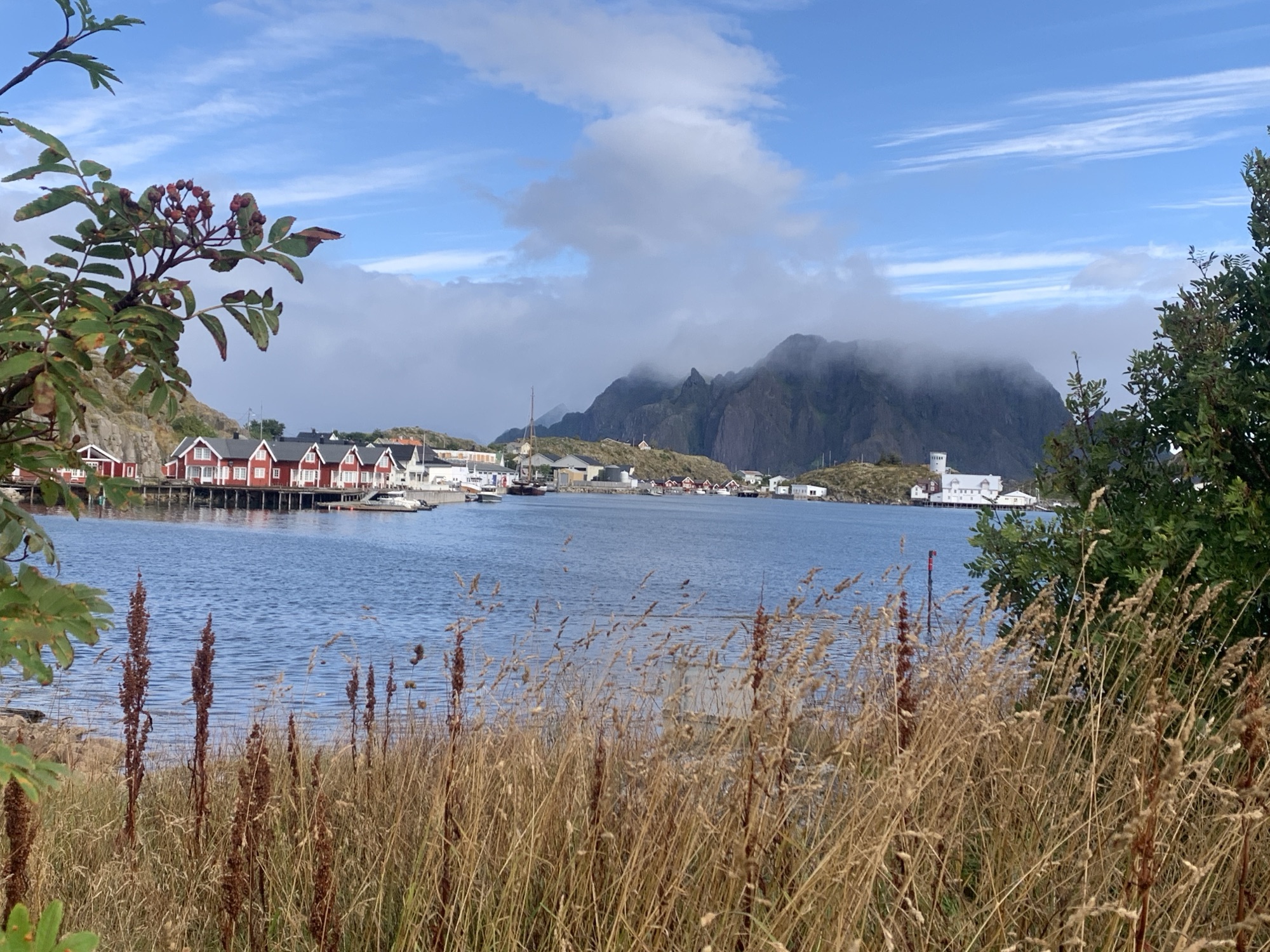
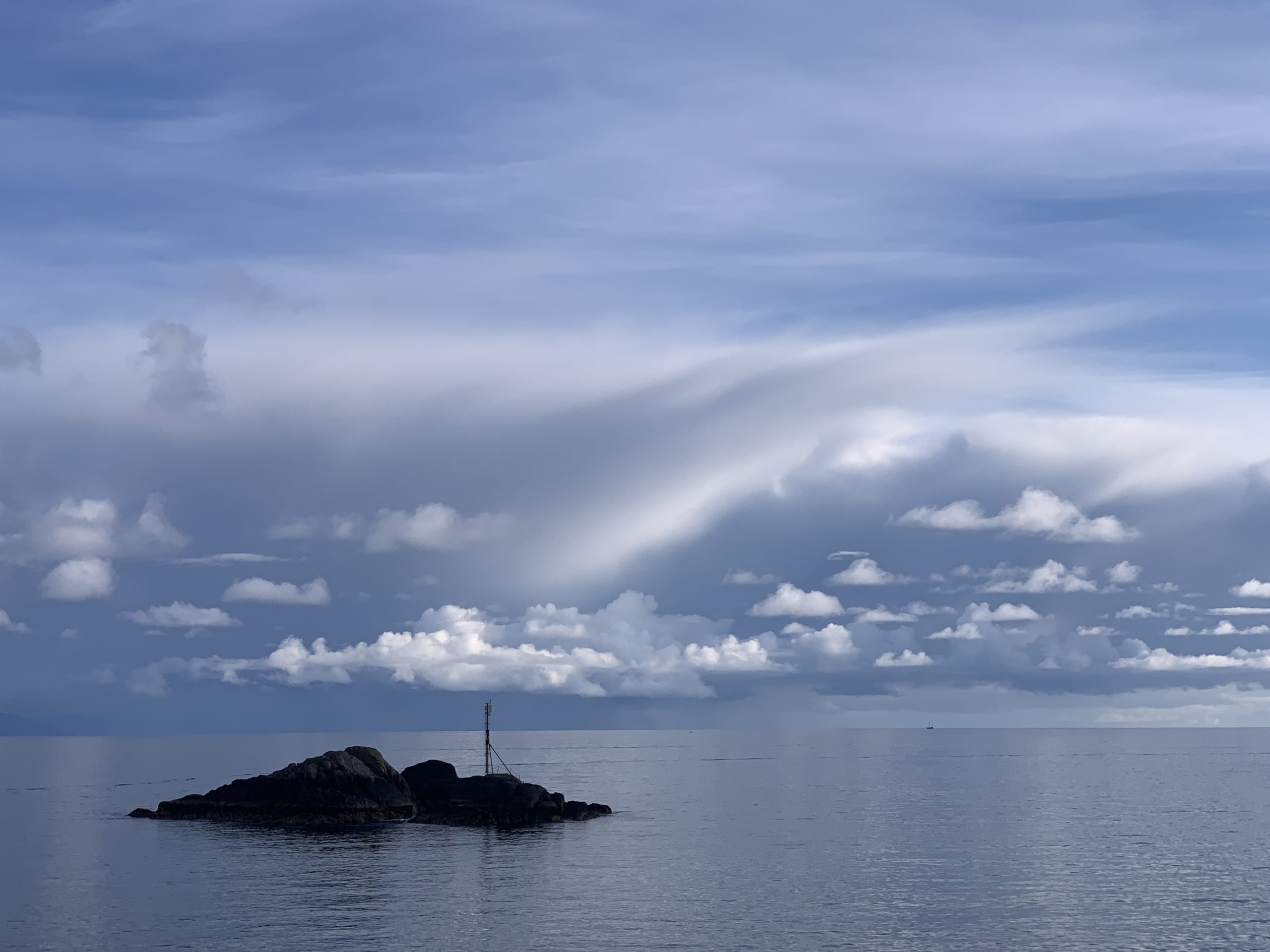
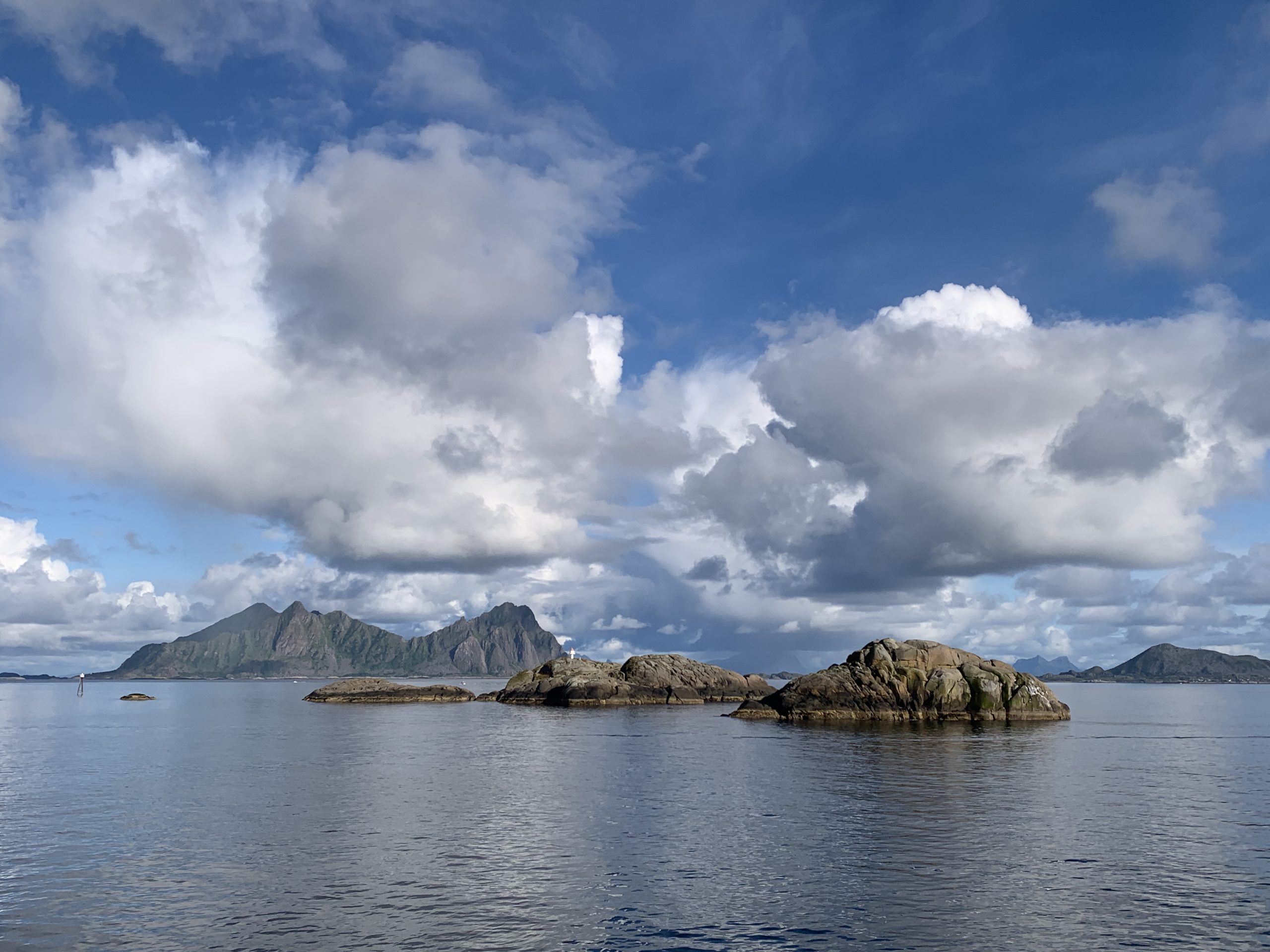
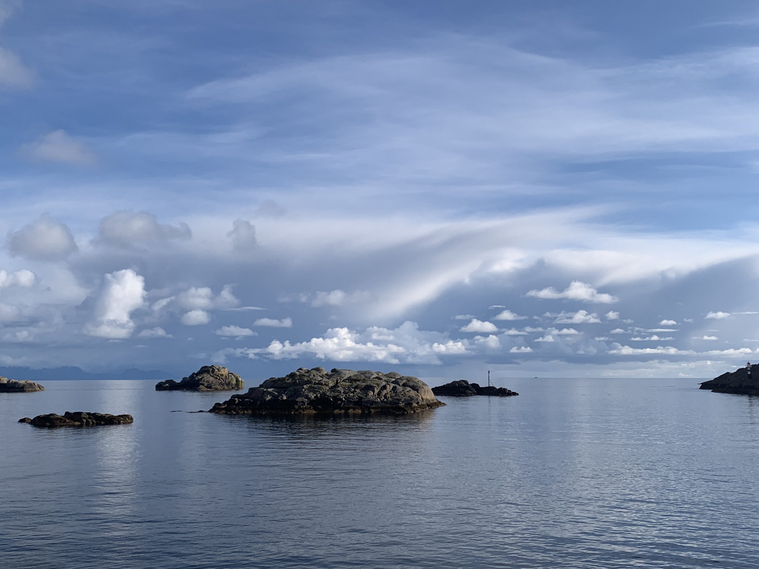
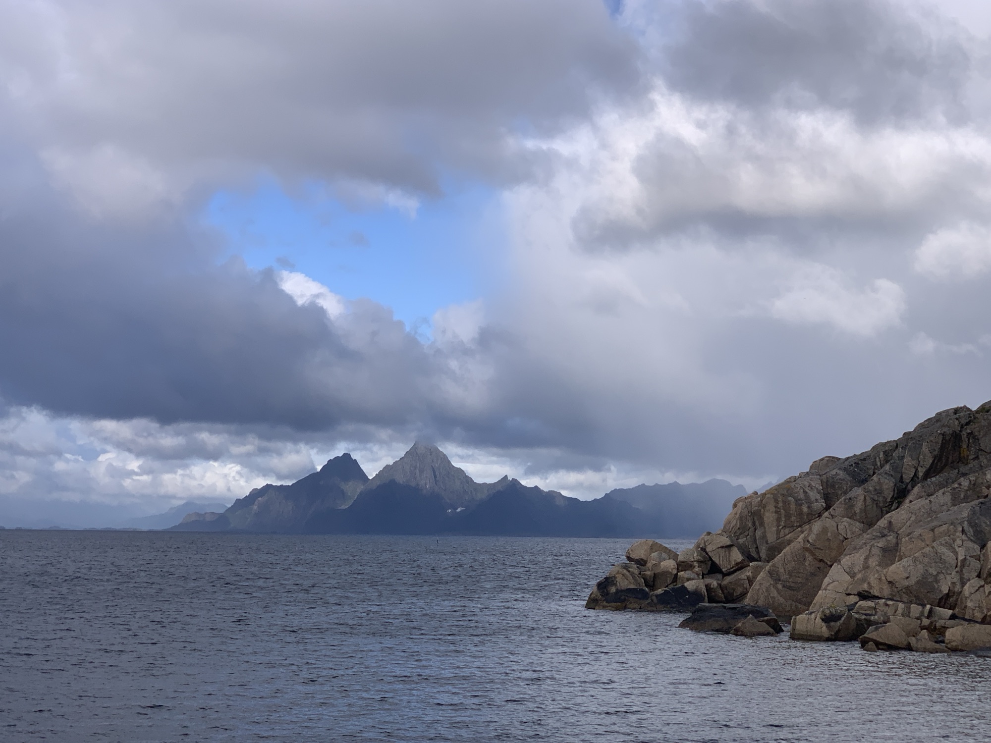
To me, the contrasts between peaks and plaines is one of the repeating elements strongly characterizing the landscapes of the Lofoten. There are others, obviously, e.g. beaches, fjords, skerries…
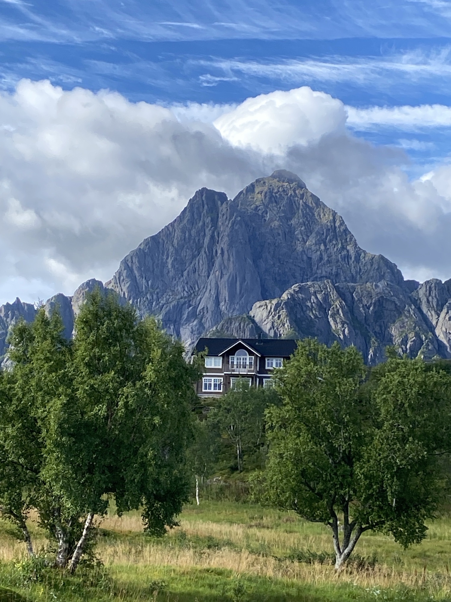
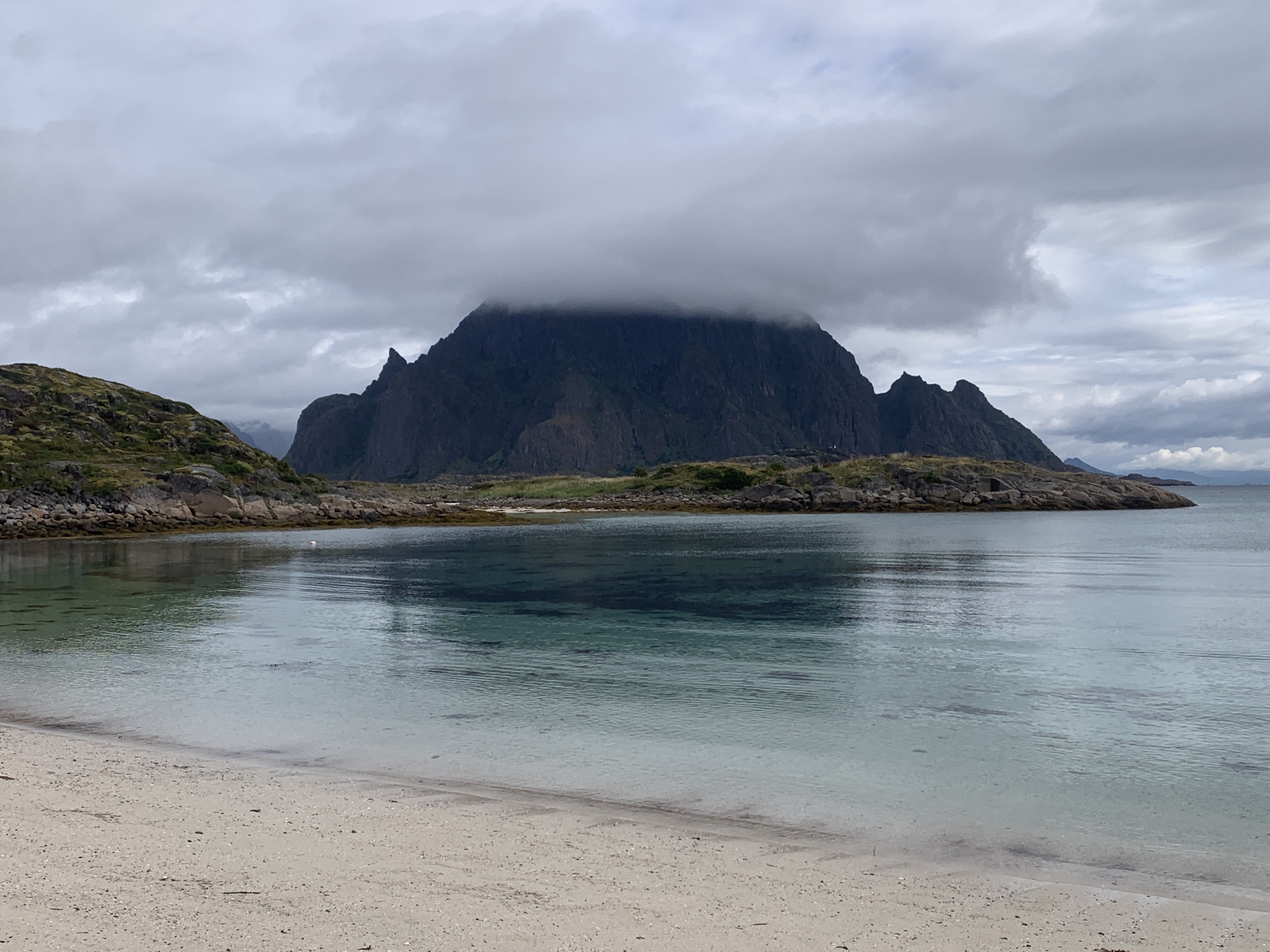
During today’s ride I explored the plaines west of Kabelvåg, very well overshadowed by the 943m high Vågakallen. This massive peak appears even very impressive from Skrova.
These plaines also include some pretty wet swamps after all the rain we had.
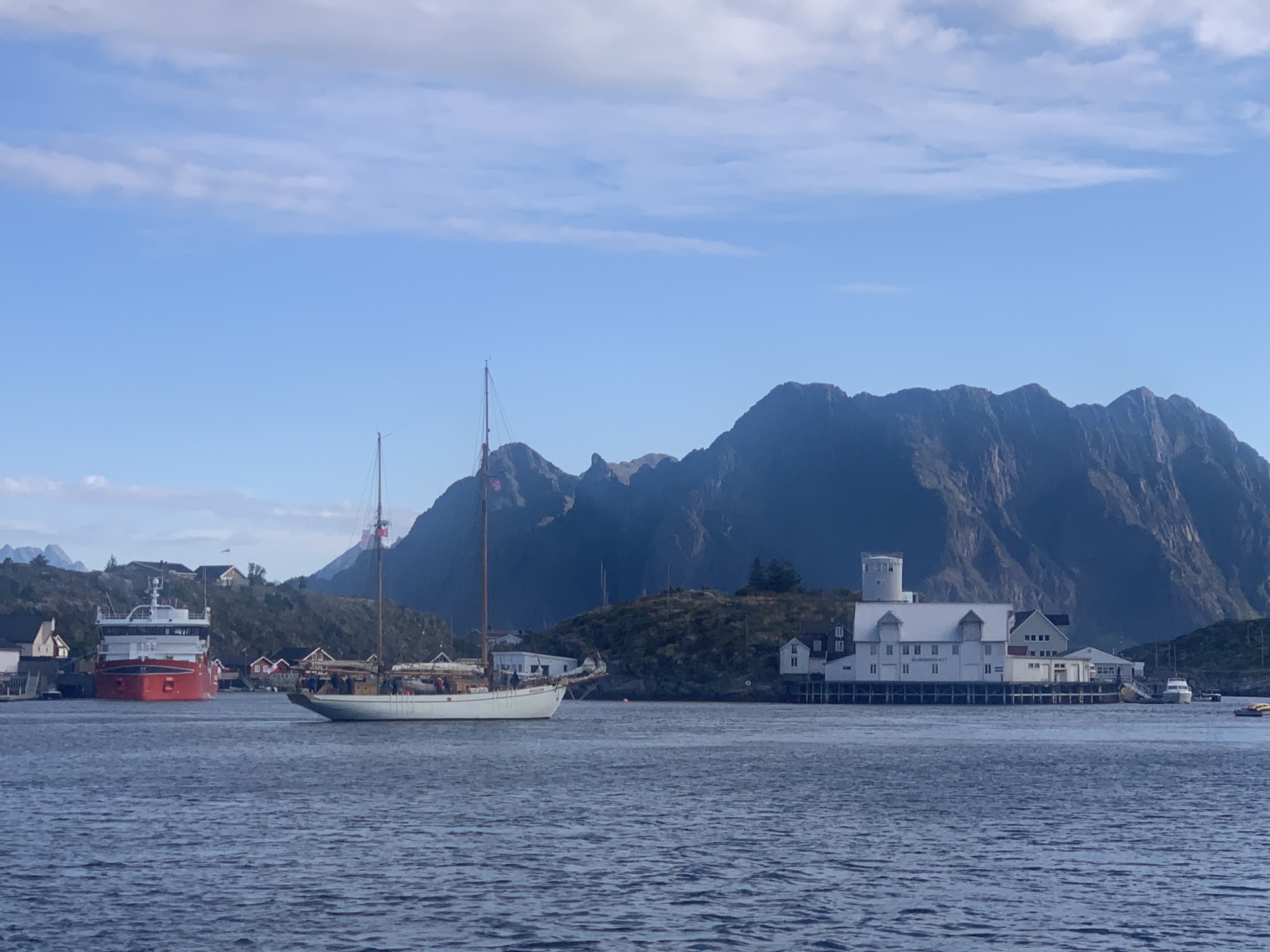
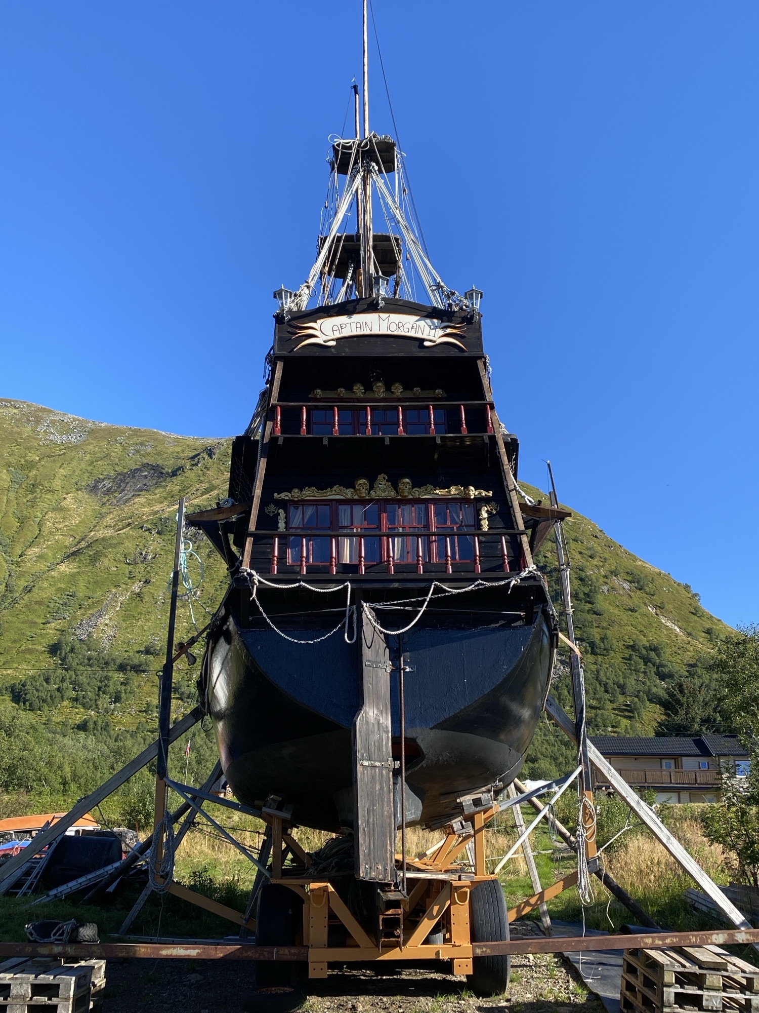
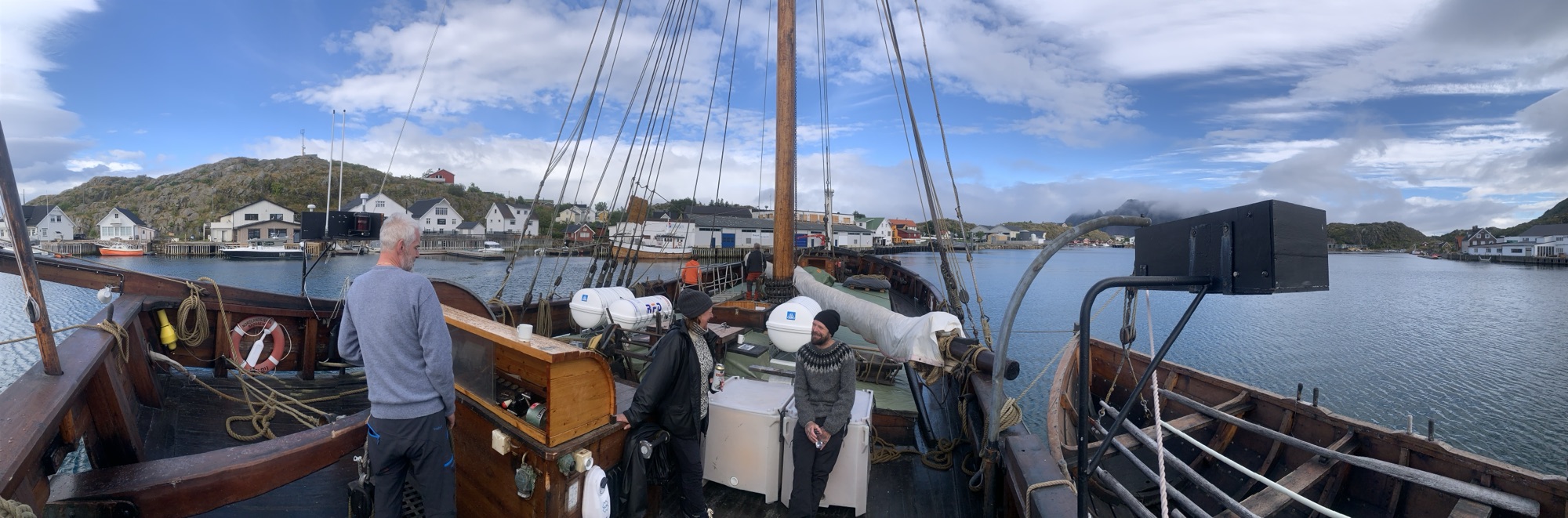
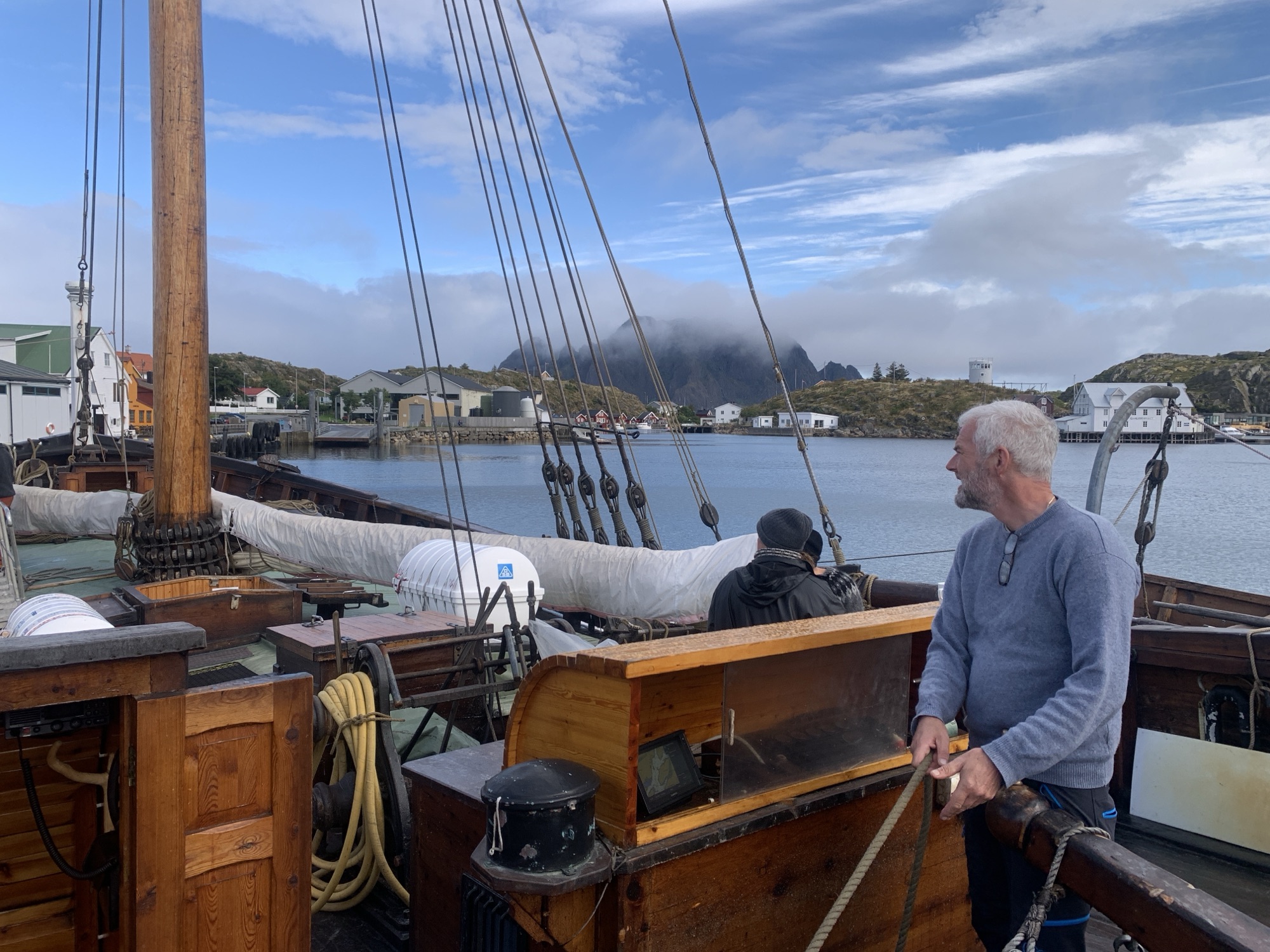
It was this traditional sailboat under norwegian flag which came in late yesterday and made me curious. Promptly greeted upon my arrival and invited to come on board, despite a bit of a language barrier. While getting an intro into the history of the boat, I suddenly had an icecold Nordpils in my hand and we kept chatting.
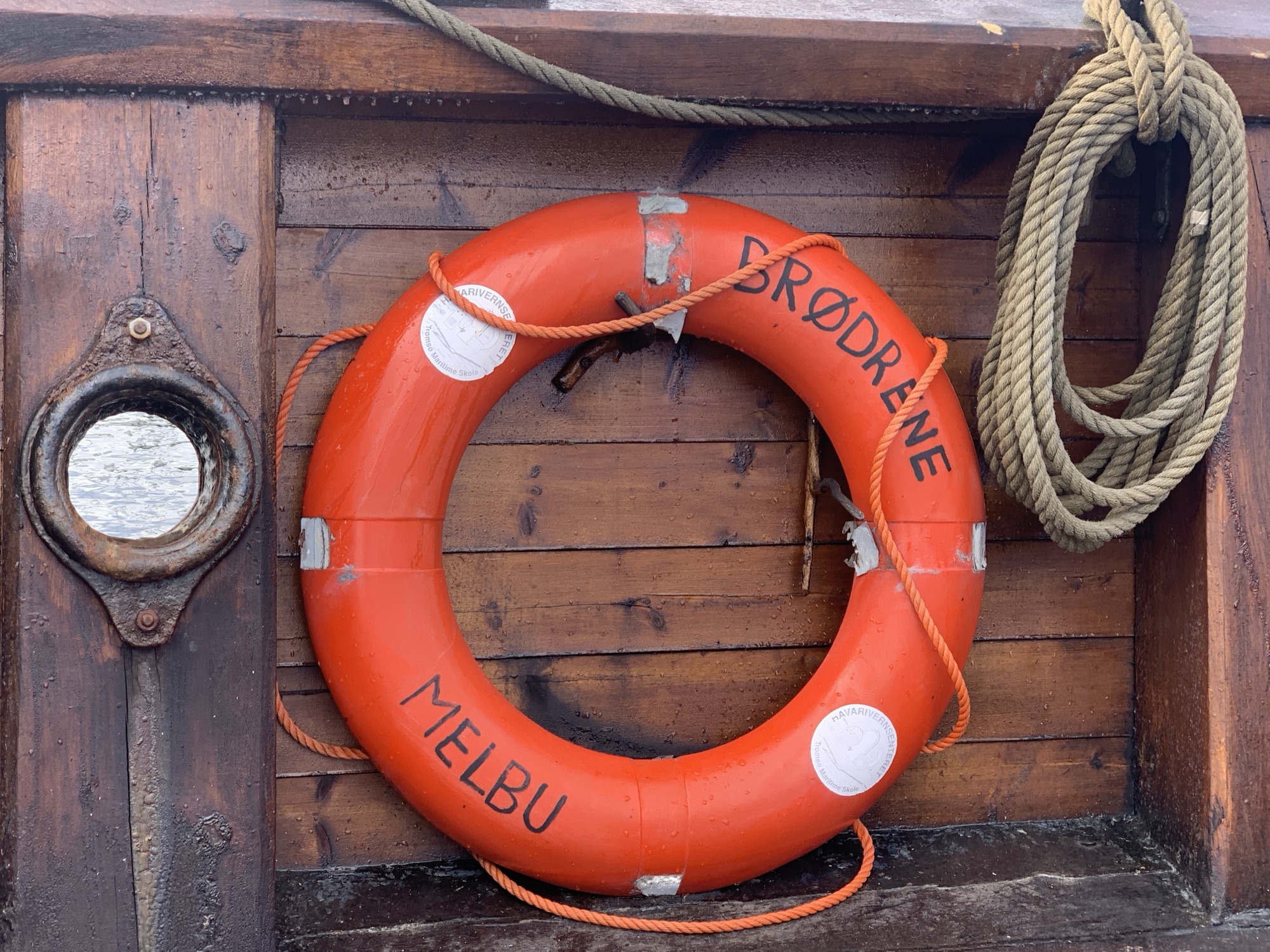
Nordlandsjekta Brødrene represents 400 years of trade history in which Northern Norway got connected via Bergen with Northern Europe through these cargo sailing vessels. Although being a replica, the tradition is being kept alive and provides another proof how much effort it took to get the stockfish to its main customers in Italy and Portugal. The story goes on and on…as does my reading and research. Nice encounter including participating a short harbour manouver.
I went on with the walk in an even better mood feeling a bit dizzy in my head knowing Nordpils before noon will not become my regular habit. It was nice though not forgetting to emphasise the norwegian welcoming openness and hospitality. The scenery keeps offering endless remarkable motifs.
The artwork on Skrova is presented in a very diverse manner. Divers in the sense of location, type of art, posh or rough, political or not, historical or modern, etc. I believe, I have seen most of it by now but would not be surprised, if there is a bit more not detected yet.