The sun was out and so was I, 8:35am sharp, on the ferry to Svolvær. The E10 was mine as the traffic has decreased significantly by now, perhaps one car each 3km on average, I would guess.
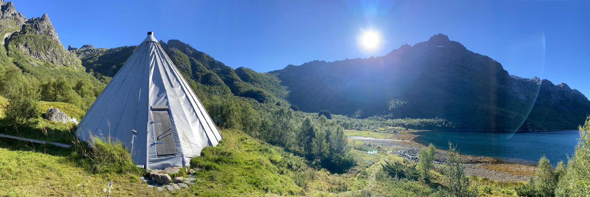
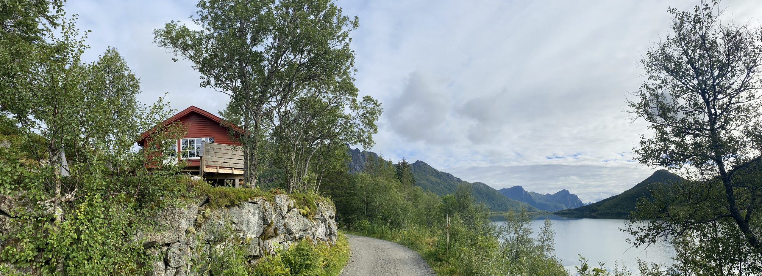
There was a bit of side road left, which I had not done yet with a Sami tent at the end of it. It inspired me for long but today was the day. Lavvu in Austpollen is the official name. What a gem! Will be back.
The ferry schedule between Skrova and Svolvær made room for a short bike ride among my appointments in town and I checked out a gravel road ending up at Kongsfossen Kraftverk. Although the hydro power station is not in operation anymore, the road going there has not only been maintained in good compacted gravel conditions but also presenting some nice reflecting views.
My appointment at the Svolvær Politi went smooth and I am now allowed to stay indefinitely in Norway.
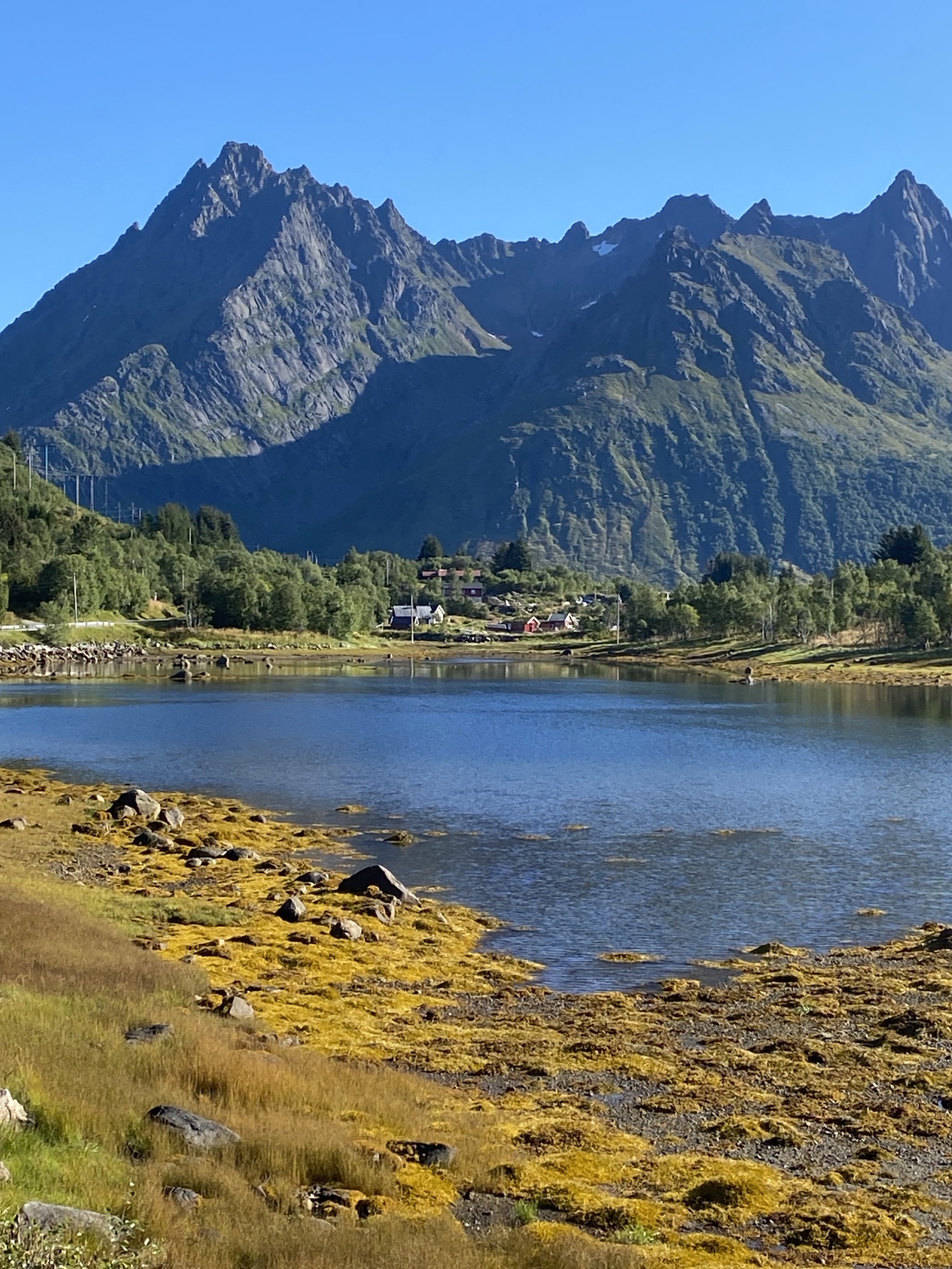
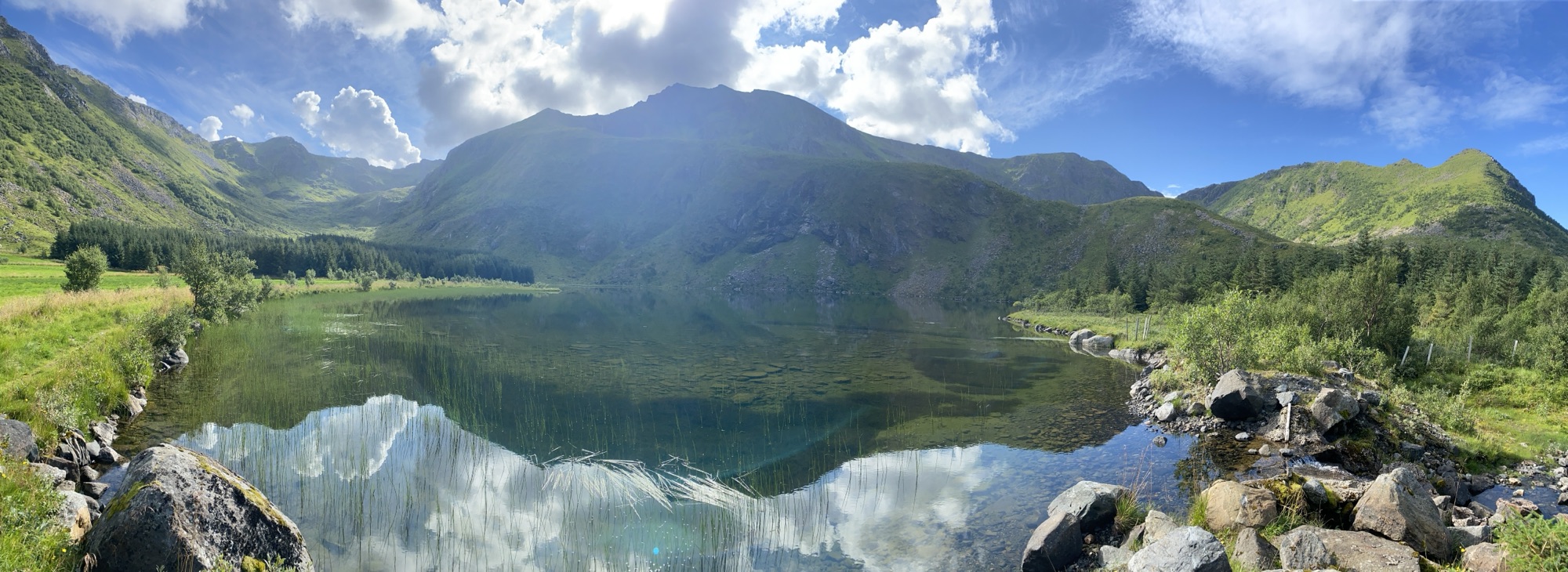
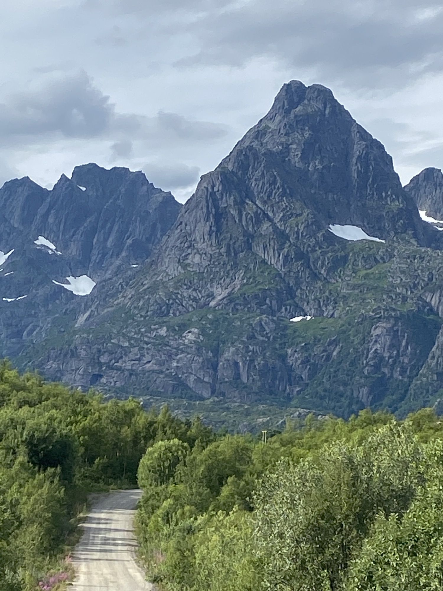
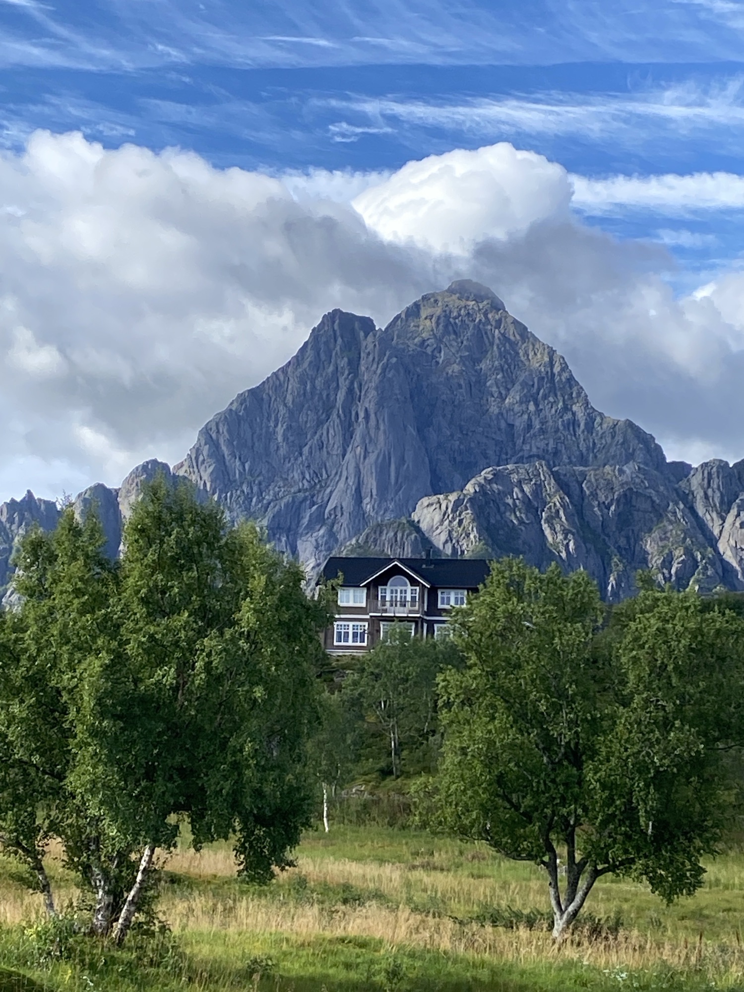
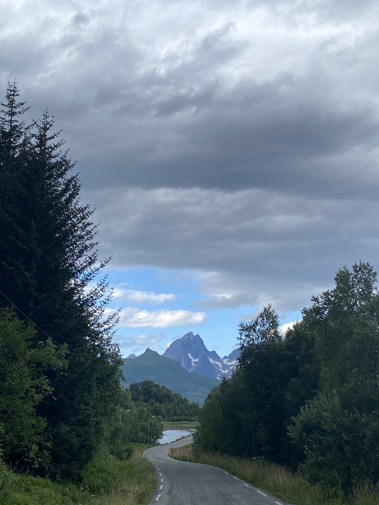
To me, the contrasts between peaks and plaines is one of the repeating elements strongly characterizing the landscapes of the Lofoten. There are others, obviously, e.g. beaches, fjords, skerries…
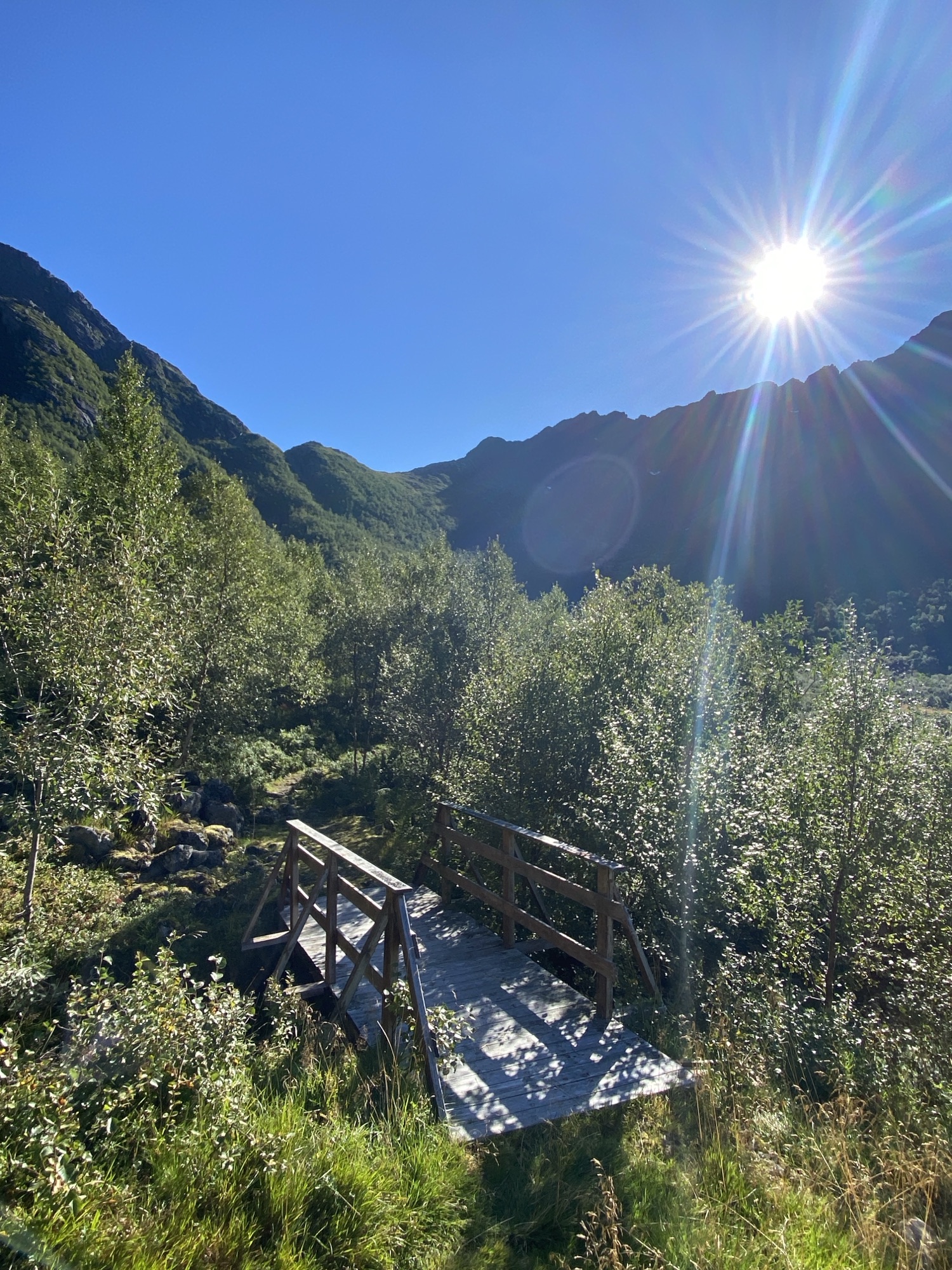
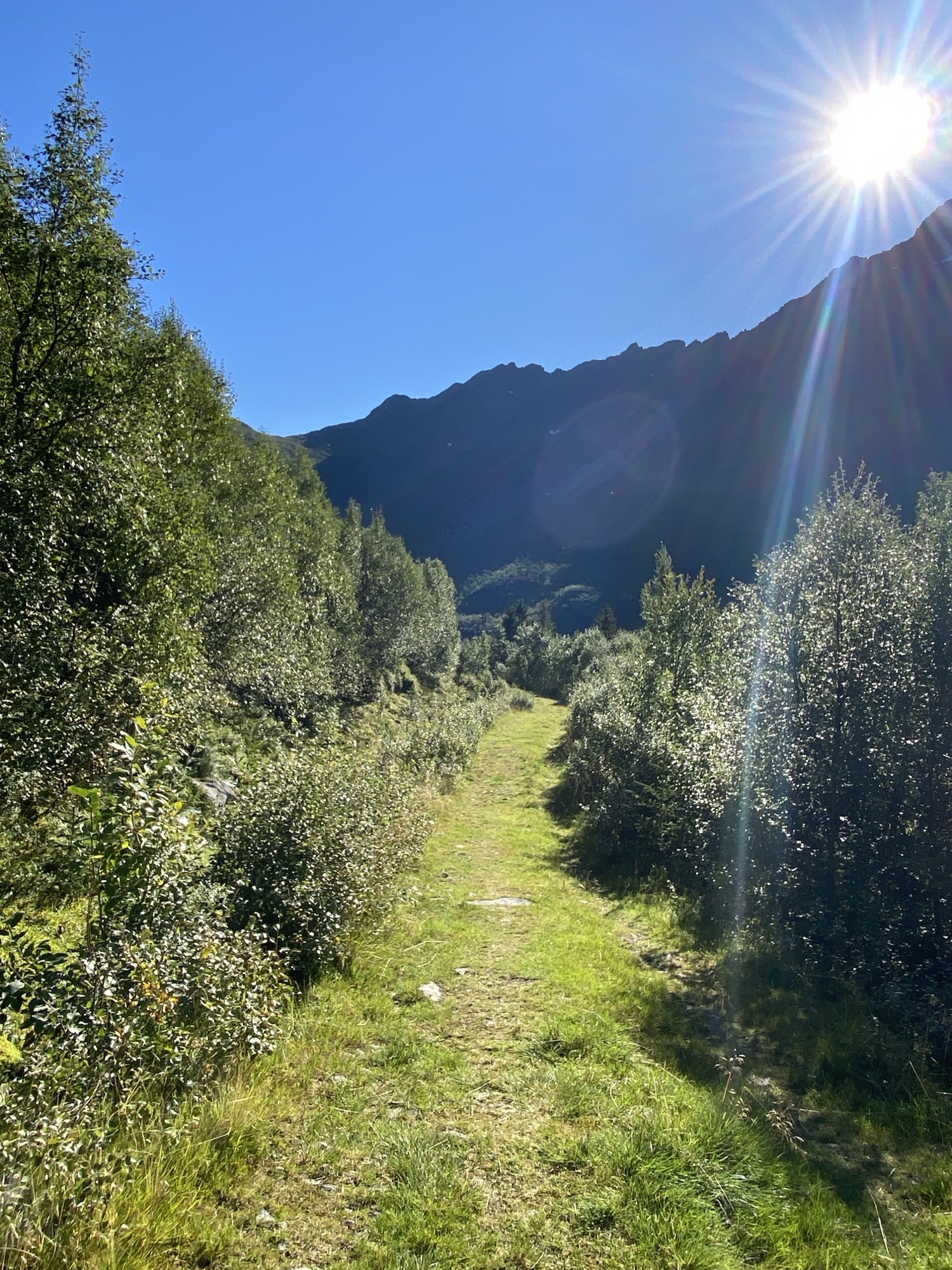
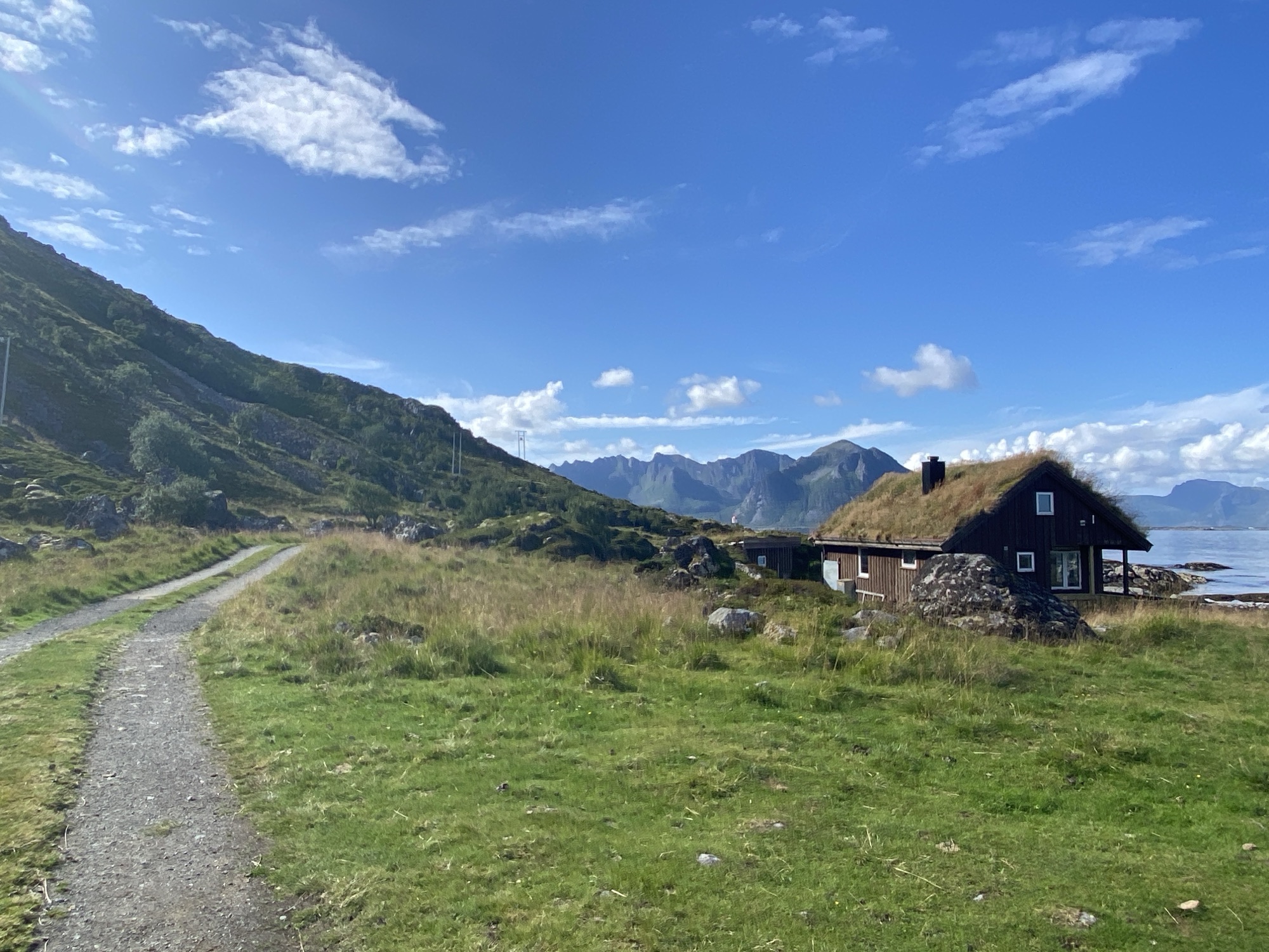
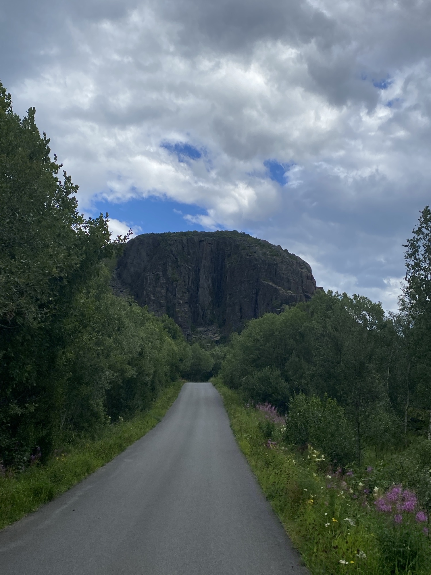
During today’s ride I explored the plaines west of Kabelvåg, very well overshadowed by the 943m high Vågakallen. This massive peak appears even very impressive from Skrova.
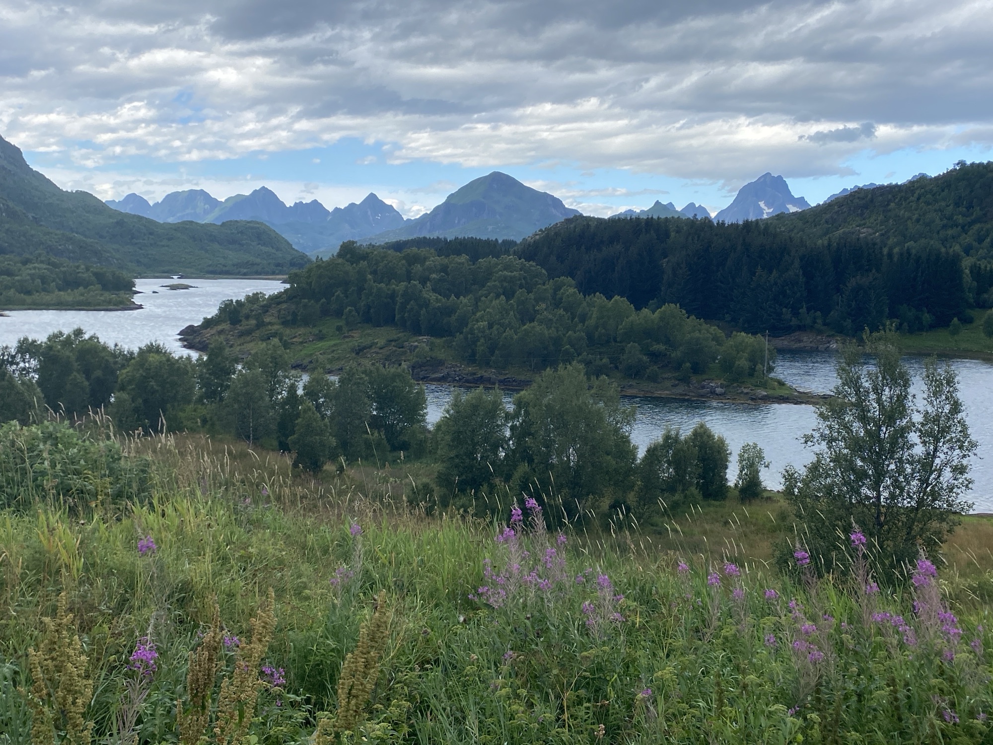
These plaines also include some pretty wet swamps after all the rain we had.
Nervannet, the freshwater supply for Brenna through a little gently gurgling creek.
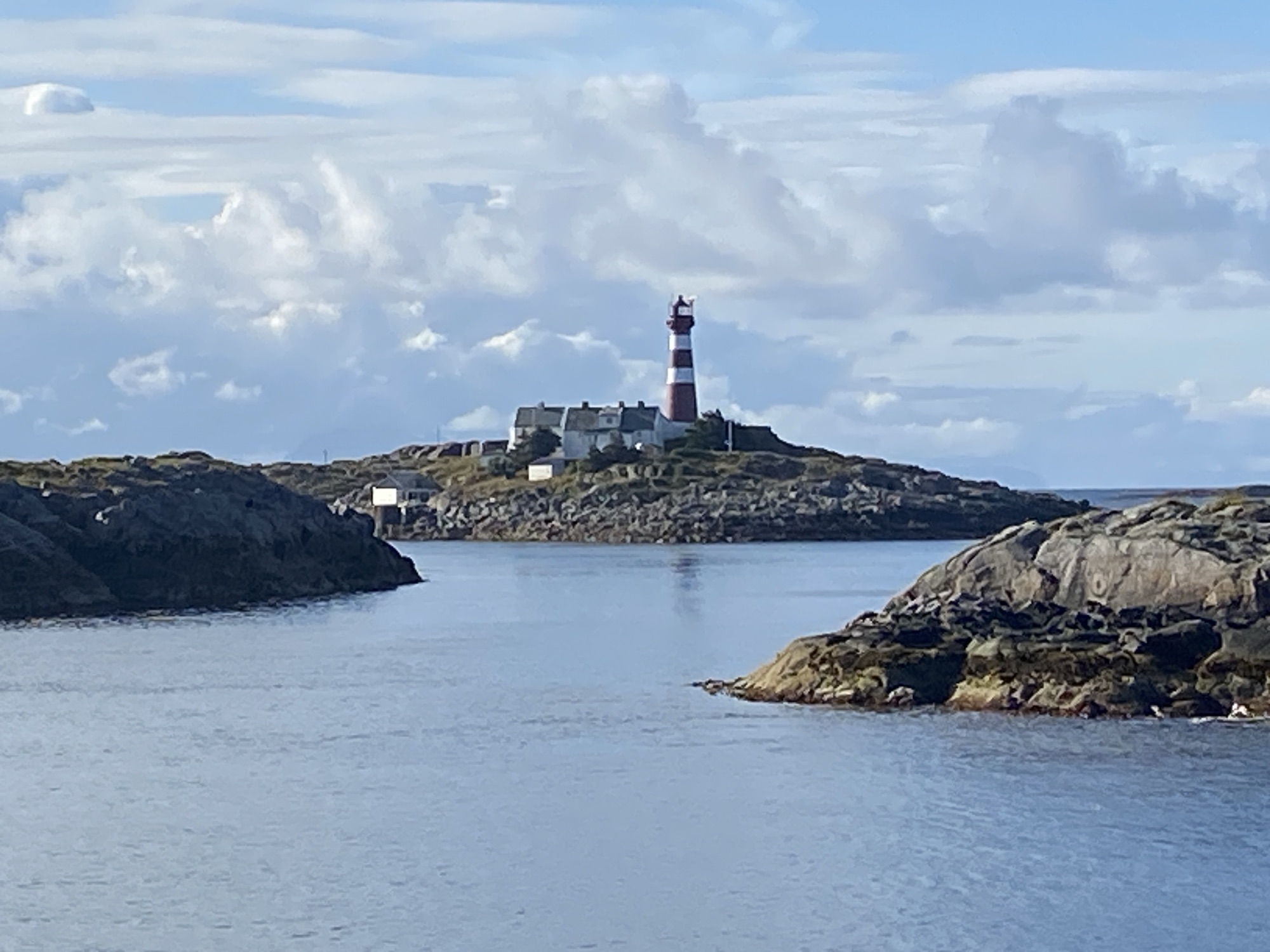
Skrova Fyr showing all its glory.
We left Skrova Fyr behind with the already second daily ferry to Svolvær sailing at around 8:35am for another unpaid and unsupported bike ride. The weather forecast did not leave me with another option. There is less traffic but still tourists around.
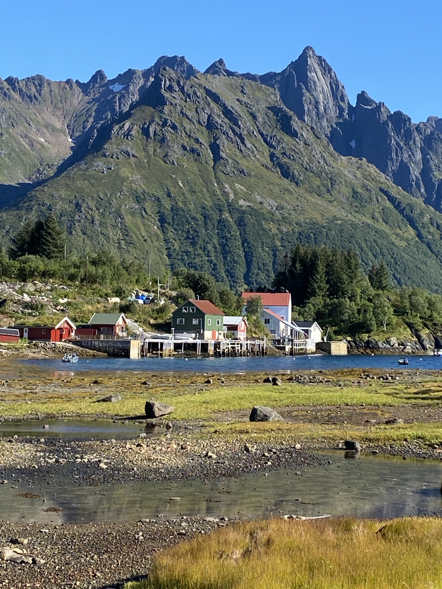
It was a long ride along the E10 until we turned right onto the Brennaveien leading to our final destination. There is interesting history around these fishing farmers and their life in remote places, not without constraints.
Today, over 30 people live in Brenna with many children while Lille Festvåg got finally abandoned around 1955.
It looks like summer has come to an end and the low pressure systems marching along the Norwegian westcoast are getting back into play.
We are currently blessed with some 35kn gusts of wind here in the fjord. Significant wave height in the Vestfjorden is forecasted to 3.3m later the week. It is an either or situation. Either I leave tomorrow back to Svolvær/Skrova or I have to stay at least for a week in the fjord. Rain will be inclusive. I will decide tomorrow.
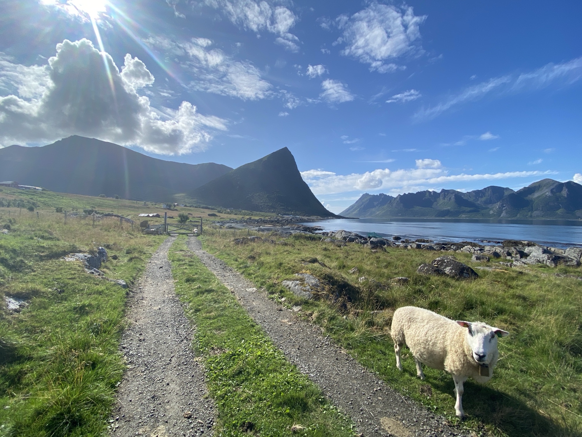
My first ride on Hinnøya today. It is not only the biggest island of the Lofoten Archipelago but also the biggest island in Norway, if you exlcude Svalbard.
The ride was colourful as was the sky. The landscape very divers. Hardly any traffic. Wildlife, only birds. Last ride in bib shorts, I guess.
The bike is packed and stored away for a couple of days.
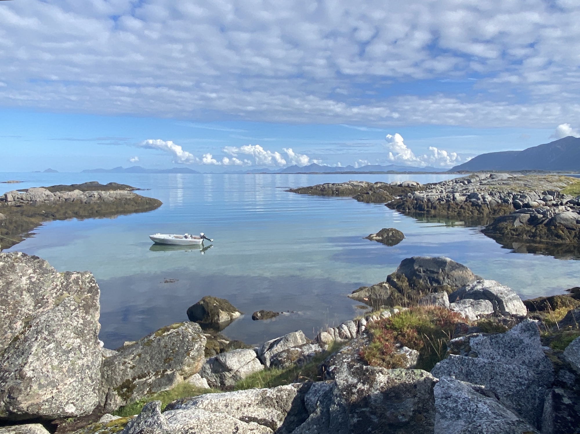
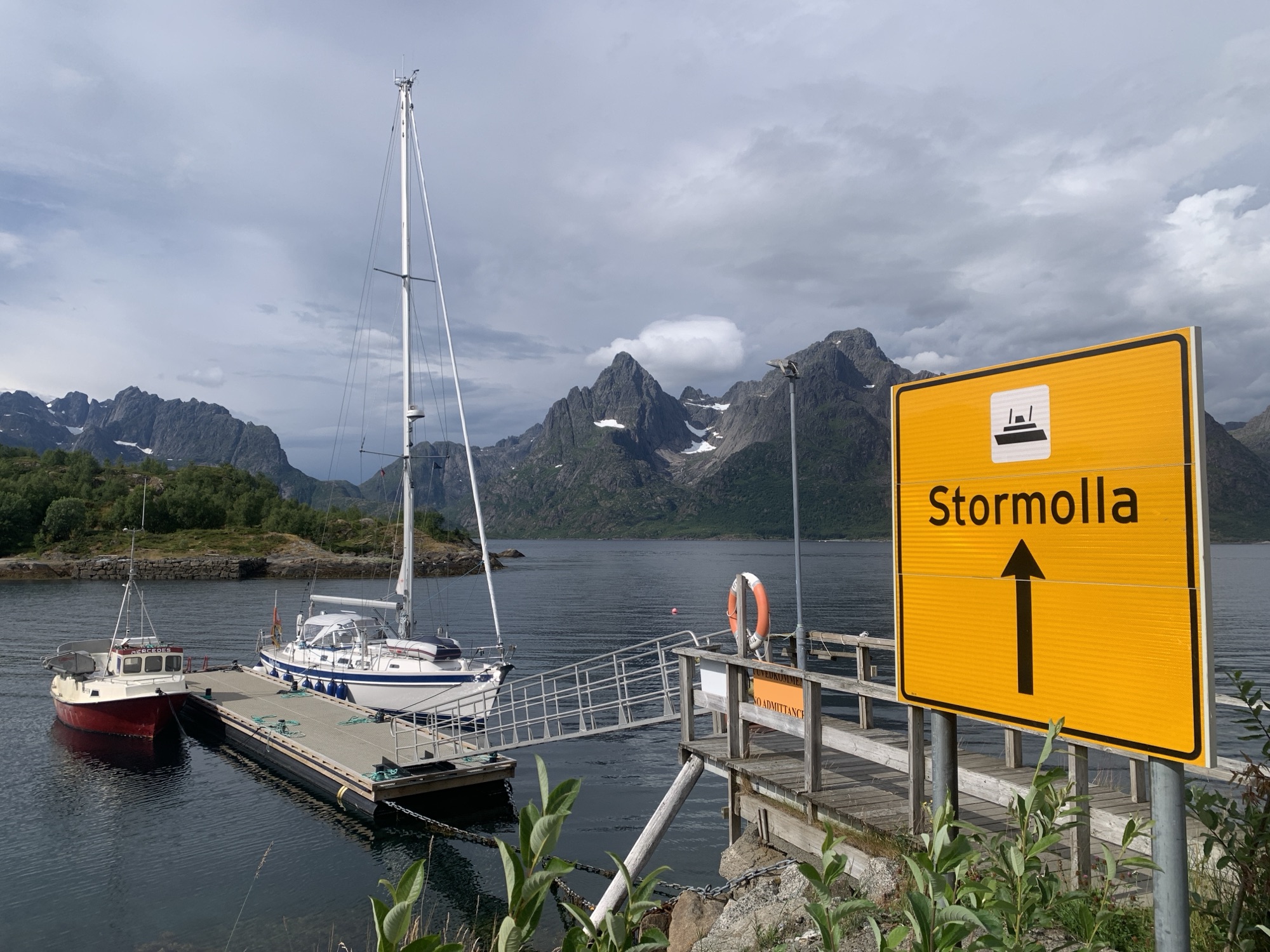
I was lucky and got a free spot suitable to berth The Lady at Digermulen next to the ferry terminal. There are not many. As the timing worked well for a short ride on Storemolla and I was keen to explore Ulvågen, I grabbed the bike. Ulvågen has a pontoon for visitors as well but I was not sure on the depth.
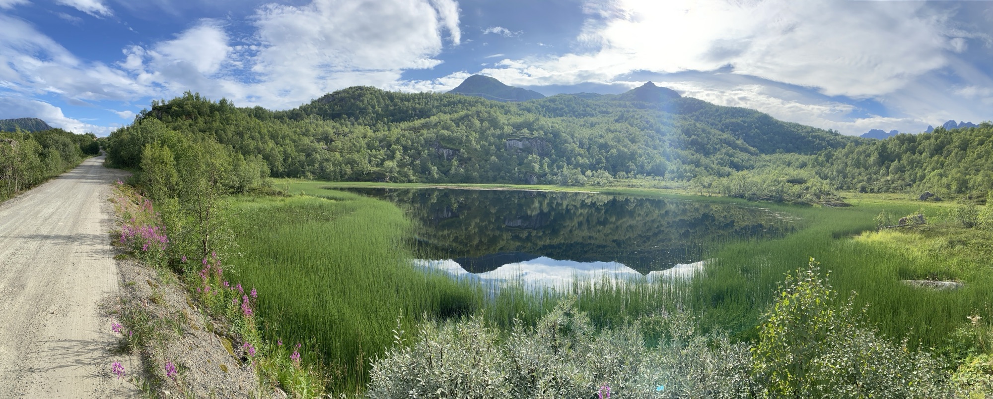
Komoot promised me some paved roads but it turned out to be all gravel, hard and solid but dusty gravel!
Deeply impressed by the natural beauty and its people granted a living in the same, I returned after 10km only but left with a pulsating head.
Out of 6 locals permanently living in Ulvågan, I have spoken to every second. First was the angler at his boat, who came after me later on his bike to let me know, that the depth at the visitor pontoon is 3.8m. He measured for me.
Bikers paradise!
Thank you! Great. We can go there, if we get another chance and have the guts.
Second, the local elderly man cutting his lawn with his new Gardena tool and telling me, that there was more fish in the area years back and last but not least the local lady, married to a fishermen having two decent sized fishing trawlers. If I had not to catch a return ferry, I would probably still be there chatting.
I would not have been on the road today, but the change in Susan’s travel routing to get home made it possible. After an early morning walk to the airport, I was curious to hit the road.
The weather pattern – sun in the south and clouds in the north of the Lofoten Archipelago – made it another colourful ride, although I would have preferred to see a little bit less overcasted skies along the northern shores of Austvågøya. A complain on a very high level. It was a very good ride.
I have decided to stay a second night in Svolvær, no rush.
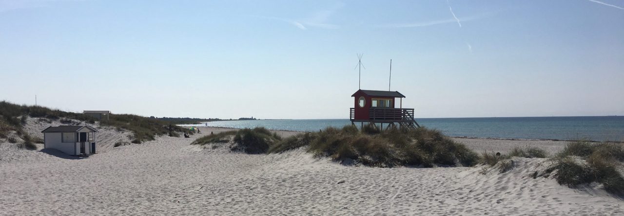
Finally it was a clear cut taking weather forecasts also into the equation. Stay on Skrova Island, no reason to rush! It became a day with some boat work and a short hike to further explore this beautiful island. The beaches were our target despite the low hanging clouds.
We left Svolvær in the early morning hours as our program for the planned one night stopover at Skrova Island was packed and included one bike ride and one hike. Sitting here now in the evening ours, I am not sure we make it to leave tomorrow, the island is simply to gorgeous.
Our cockpit view captures it all: The traditional and modern world in marvellous nature.
After cycling every inch on the island, including the gravel section to Hattvika Beach we clocked just below 10km. It gave us a good overview about the size and vibe on the island, known as the cultural hotspot of the Lofoten. The photo exhibition arranged within the road tunnel under perfect lighting conditions is one of the proof.
Hard to believe, a tunnel on this tiny island.
After some rest, we kicked-off the hike to Skrova’s mountain viewpoint at 259m above sea level. After a relatively short but rough hike we took plenty of time to absorb this breathtaking view – without doubt, the best on the Lofoten so far.
The best view we had so far here in the Lofoten. Skrova - The Photo Island.
With less than 200 locals permanently living on this amazing island, which is only a 30 minutes ferry ride away from tourist hotspot Svolvær, and now at peak holiday season in Norway, I remain puzzled how peaceful this spot comes across.
Tired but happy we will see, if we can leave this place behind already tomorrow and move on as planned or not. I have some doubts!
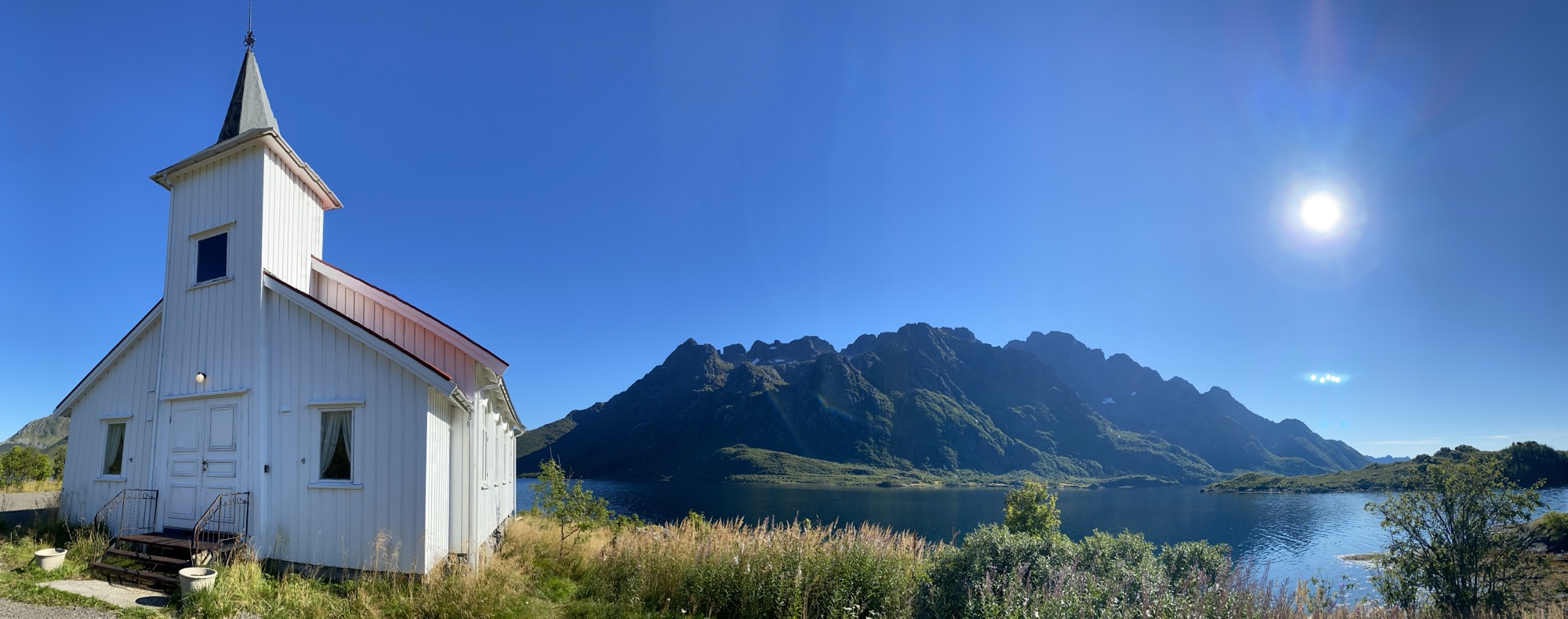
Debatable, if this church presents itself more picturesque from outside at low or at high tide.
After spotting another track on Komoot around Svolvær, I was back in the saddle around 10am to check it out. Additionally motivated from the fact, that the ride will pass along Vågan Church in Kabelvåg, a unique heritage building, which we missed last time. Also had another check on Kabelvåg downtown before hitting the gravel.
Wild, ~500m catch & carry was needed.
The gravel became a trial and my Chiru X-Root got quickly to its limit. Nevertheless I got through and enjoyed another excursion into this beautiful nature.